Bakun is one of the most picturesque municipality in the Cordilleras, if not in the country, as it boasts nature at its best. The place is known for its mountains, especially the trio of Mounts Tenglawan, Lobo, and Kabunian. Now, it also attracts tourists’ attention for its scenic waterfalls.
How to Get To Bakun, Benguet (DIY)
The best way to get to Bakun and experience the rush of its waterfalls is through Baguio City. From Baguio City, take a jeepney going to La Trinidad, Benguet and drop at the Caltex Gasoline Station at Km. 5. Take note that this is across Mercury Drugstore and NOT the one in Puguis junction or in front of Benguet State University. There is only one daily bus trip stationed there and starts moving between 6:00AM to 6:30AM. Be there at 6:00AM so that you will not miss it.
Contact Persons
- Mr. Arthur Tolito (Municipal Tourism Officer): +63 921 211 3687
- Ms. Nenita Budas (BTC President): +63 918 352 3722
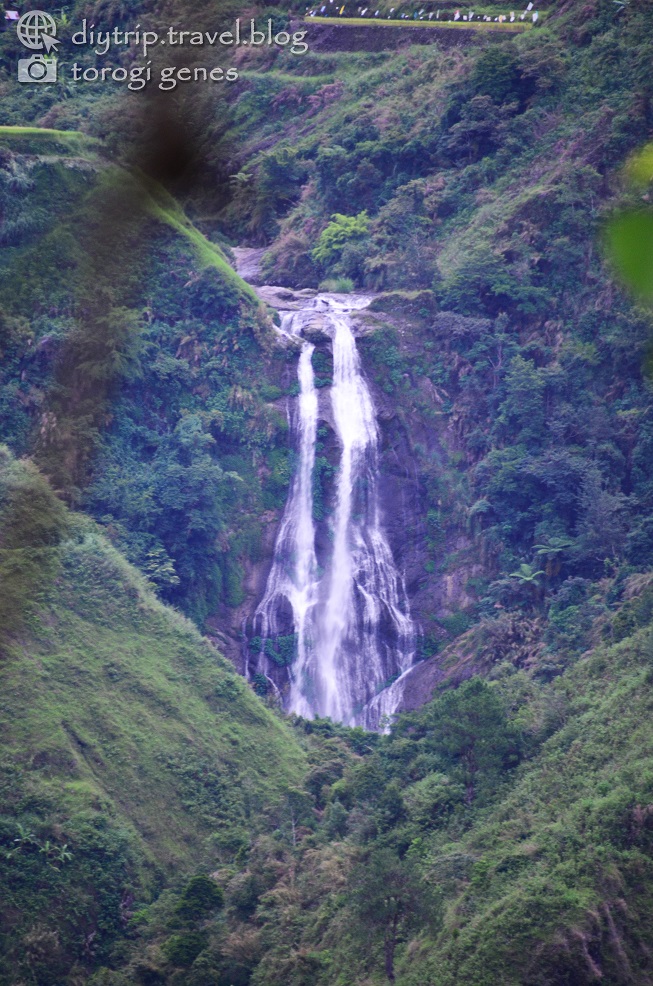
Chasing Waterfalls in Bakun, Benguet
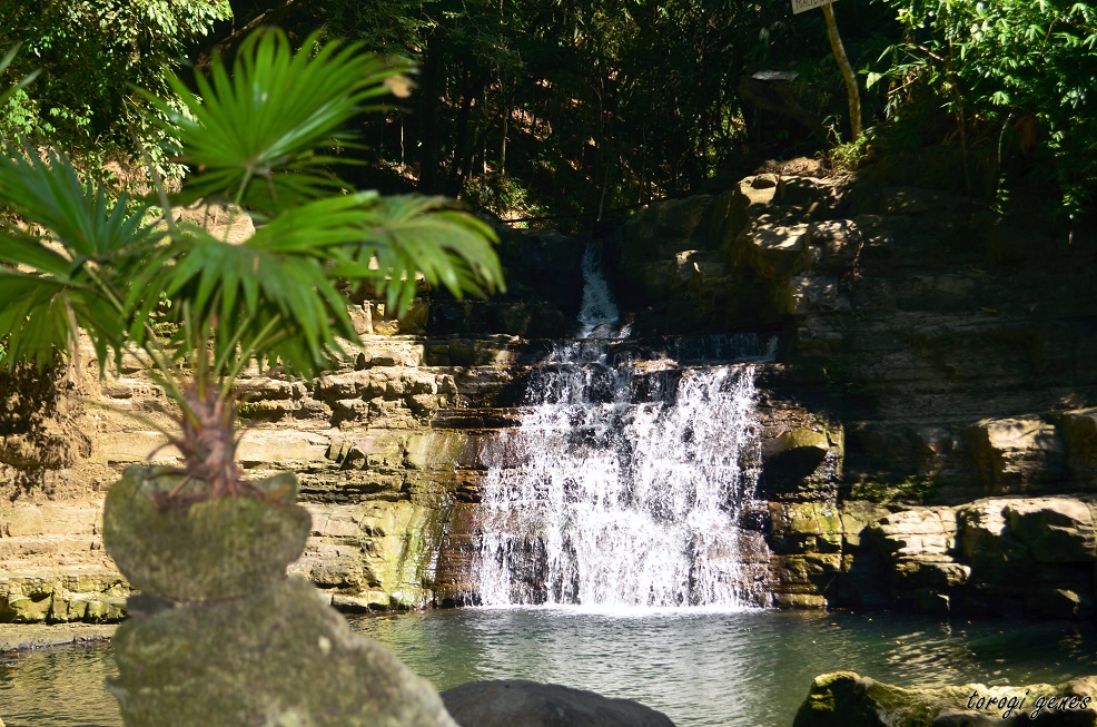
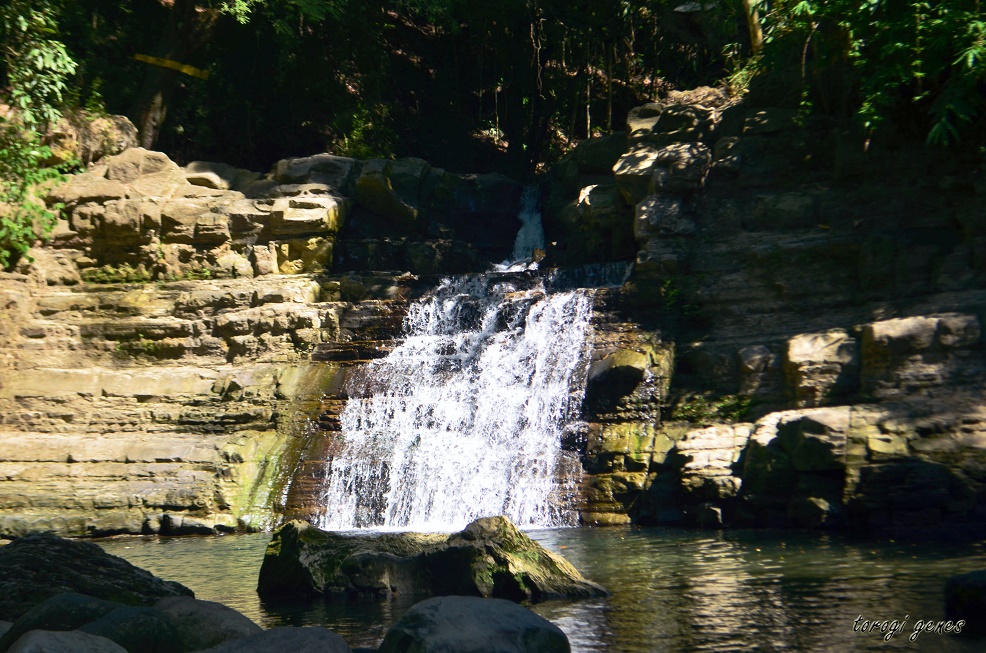
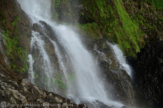
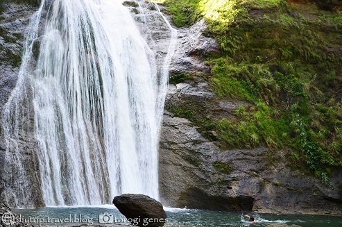
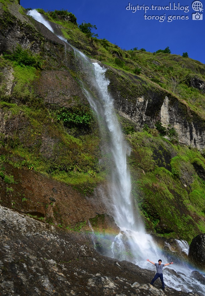
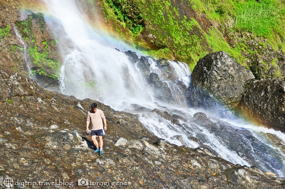
Bakun offers waterfalls of great heights and of incomparable beauty. Among the numerous waterfalls in the municipality, Mangta, Tekip, Pikaw, Pattan, Sakup, and Tres Marias are the most popular. Each have their own allure, depending on the height and width of the waterfall, presence of plunge pool, accessibility, and others.
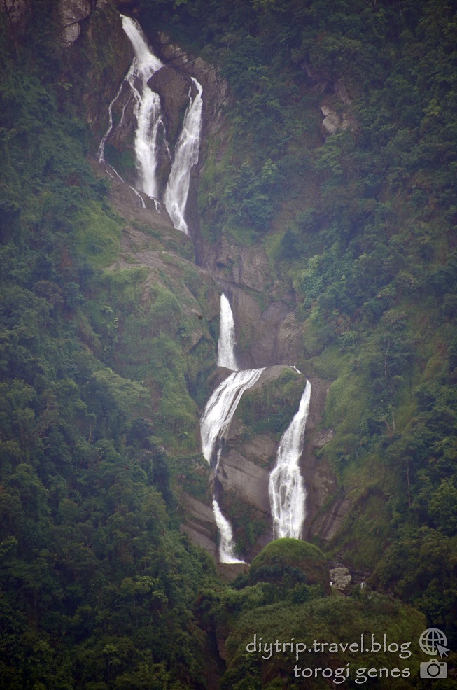
Mangta Falls

Want to see the details of the waterfall and plunge pool of Mangta Falls? Check it here:
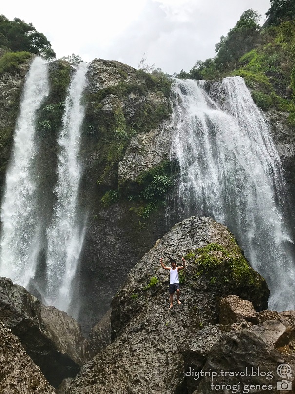
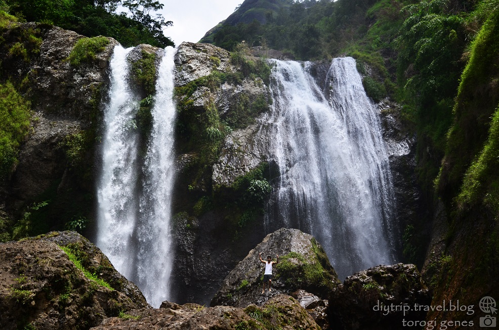
Pattan Falls
Want to see the details of the waterfall and plunge pool of Pattan Falls? Check it here:
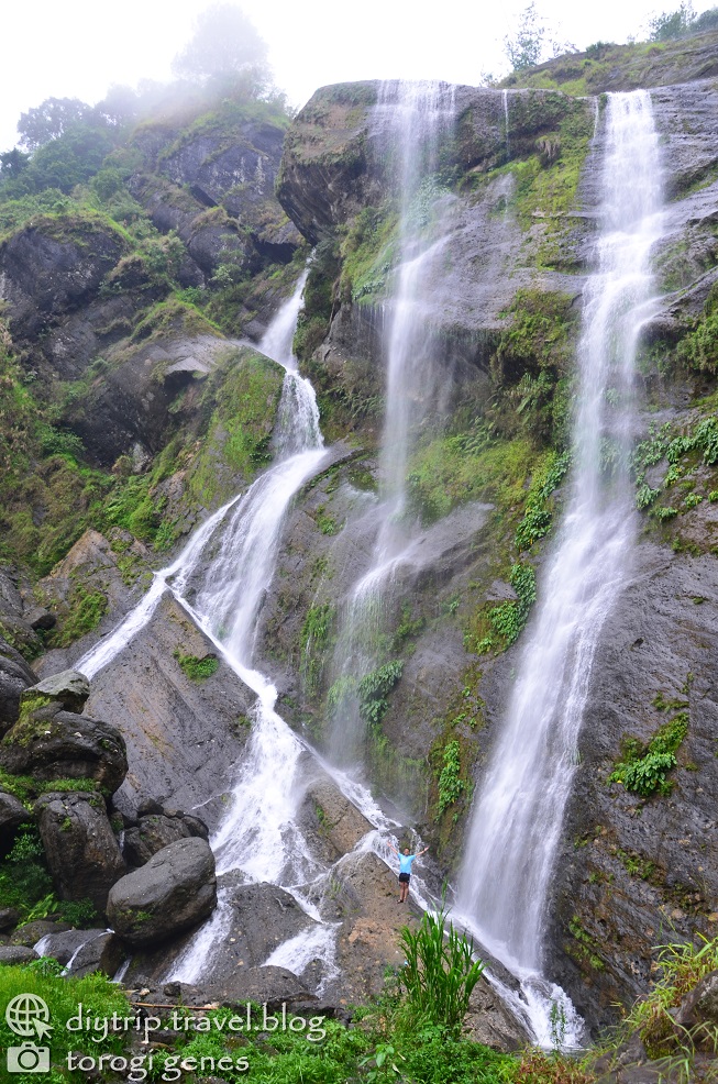
Pikaw Falls
Want to see the details of the waterfall and plunge pool of Pikaw Falls? Check it here:
Sakup Falls
Tekip Falls
Want to see the details of the waterfall and plunge pool of Tekip Falls? Check it here:

Tres Marias Falls
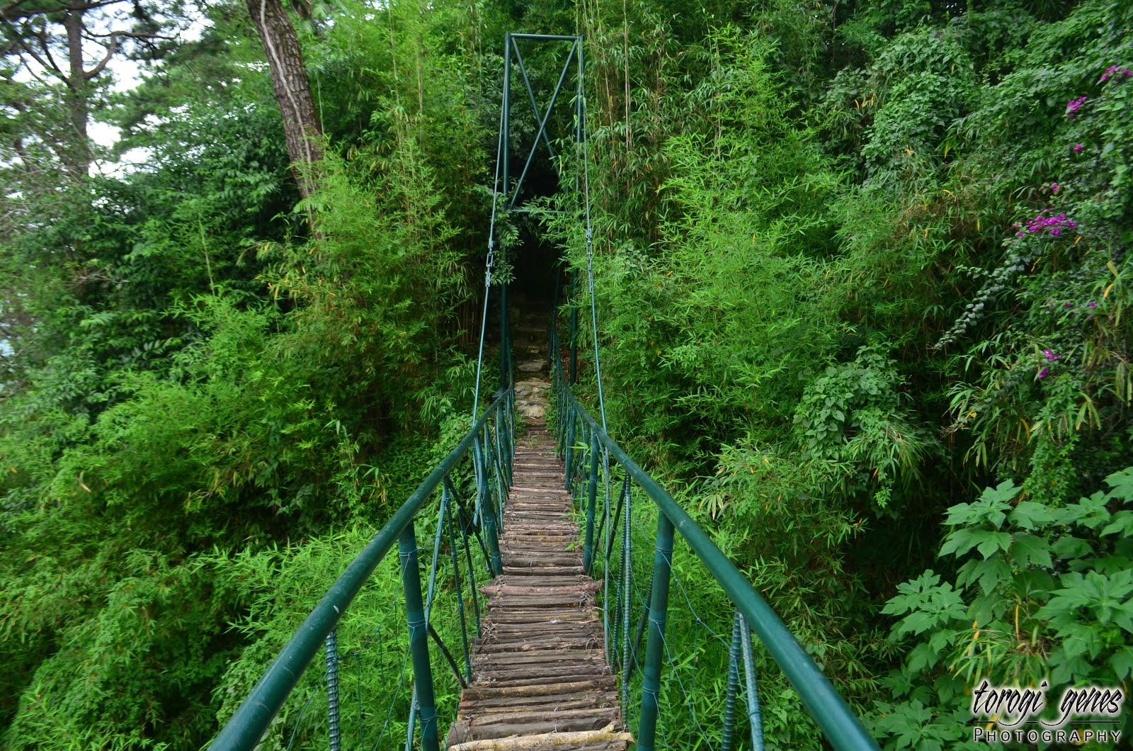
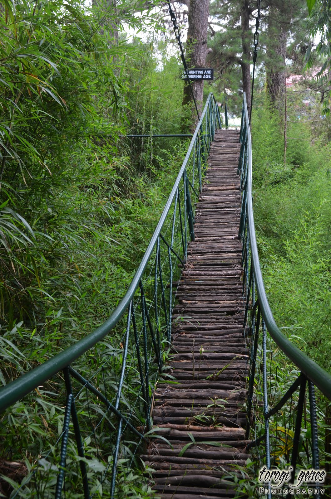
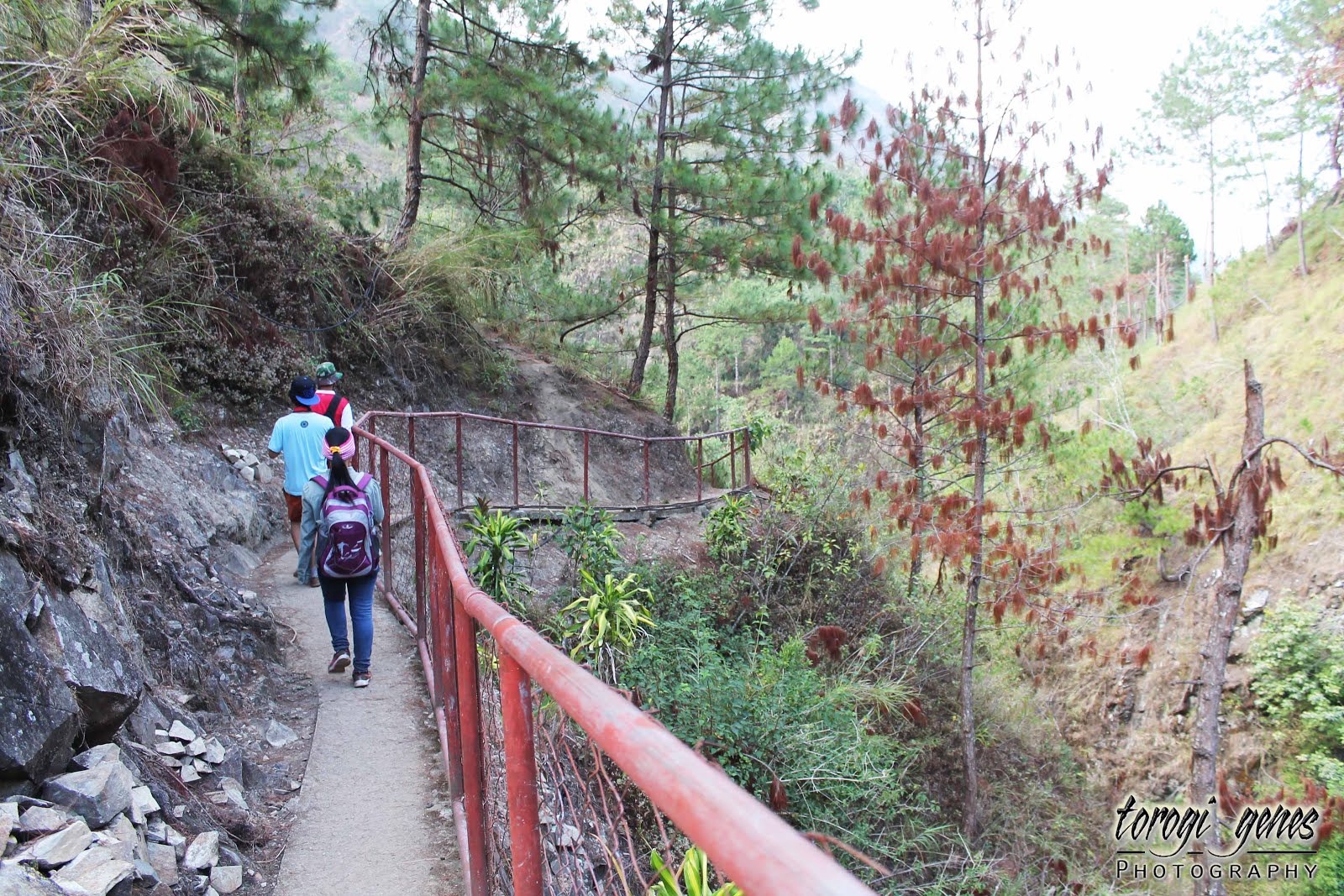
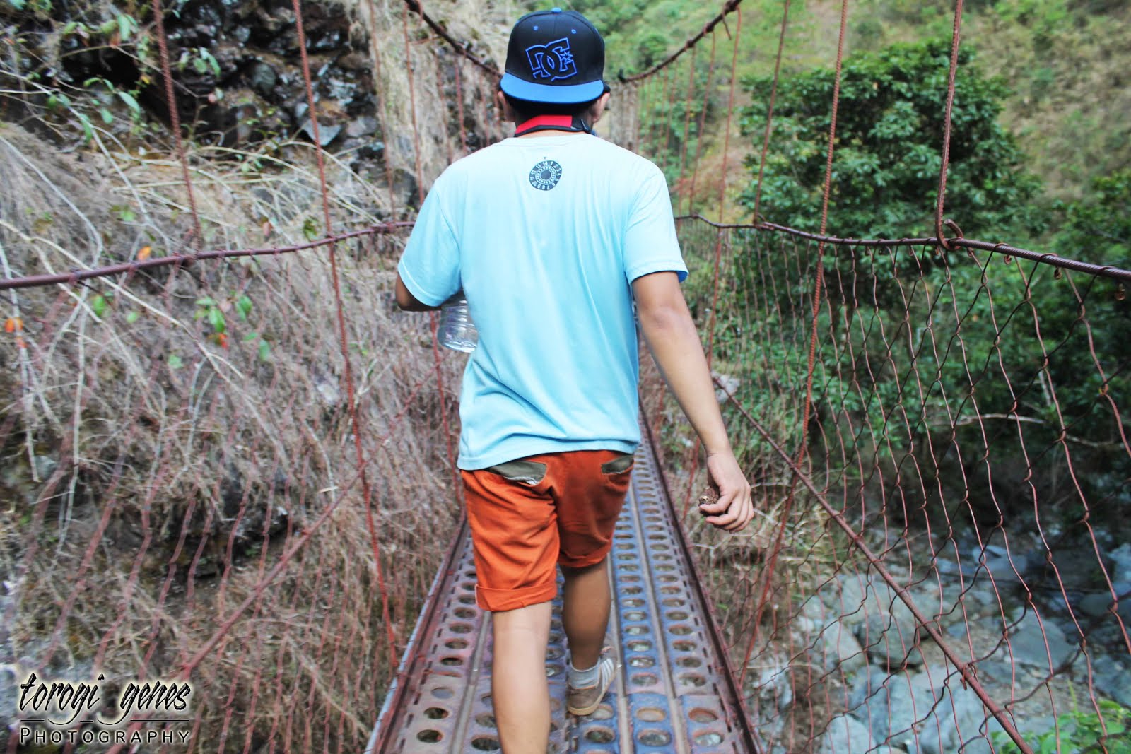
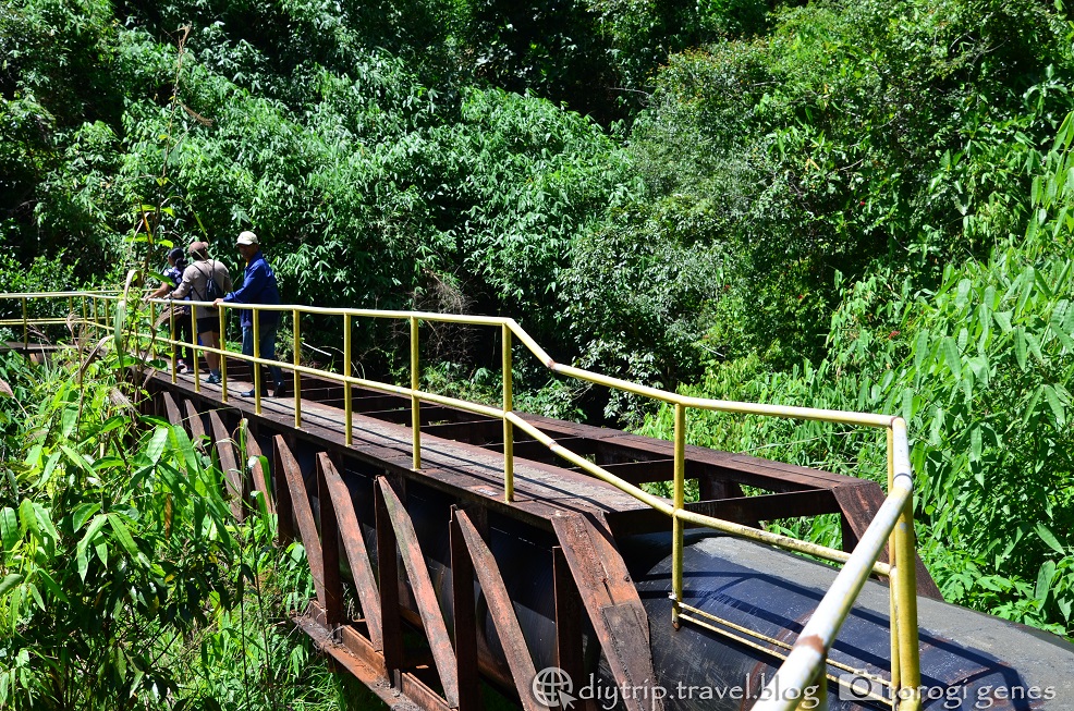
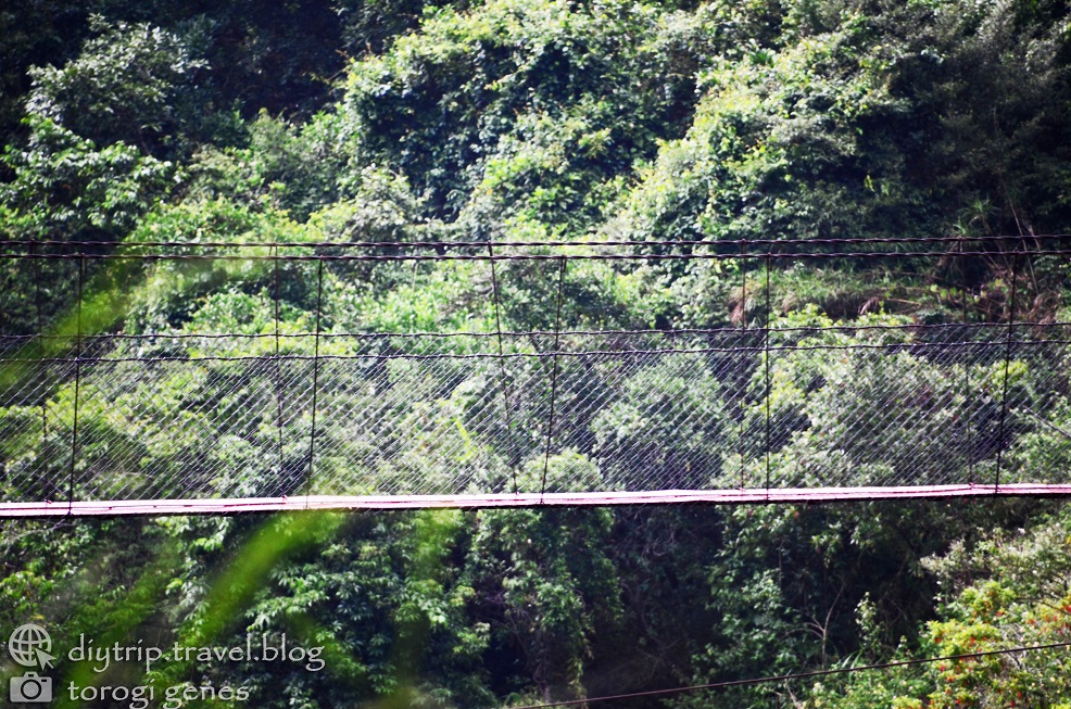
Of Foot Bridges Over Crystal Clear Waters
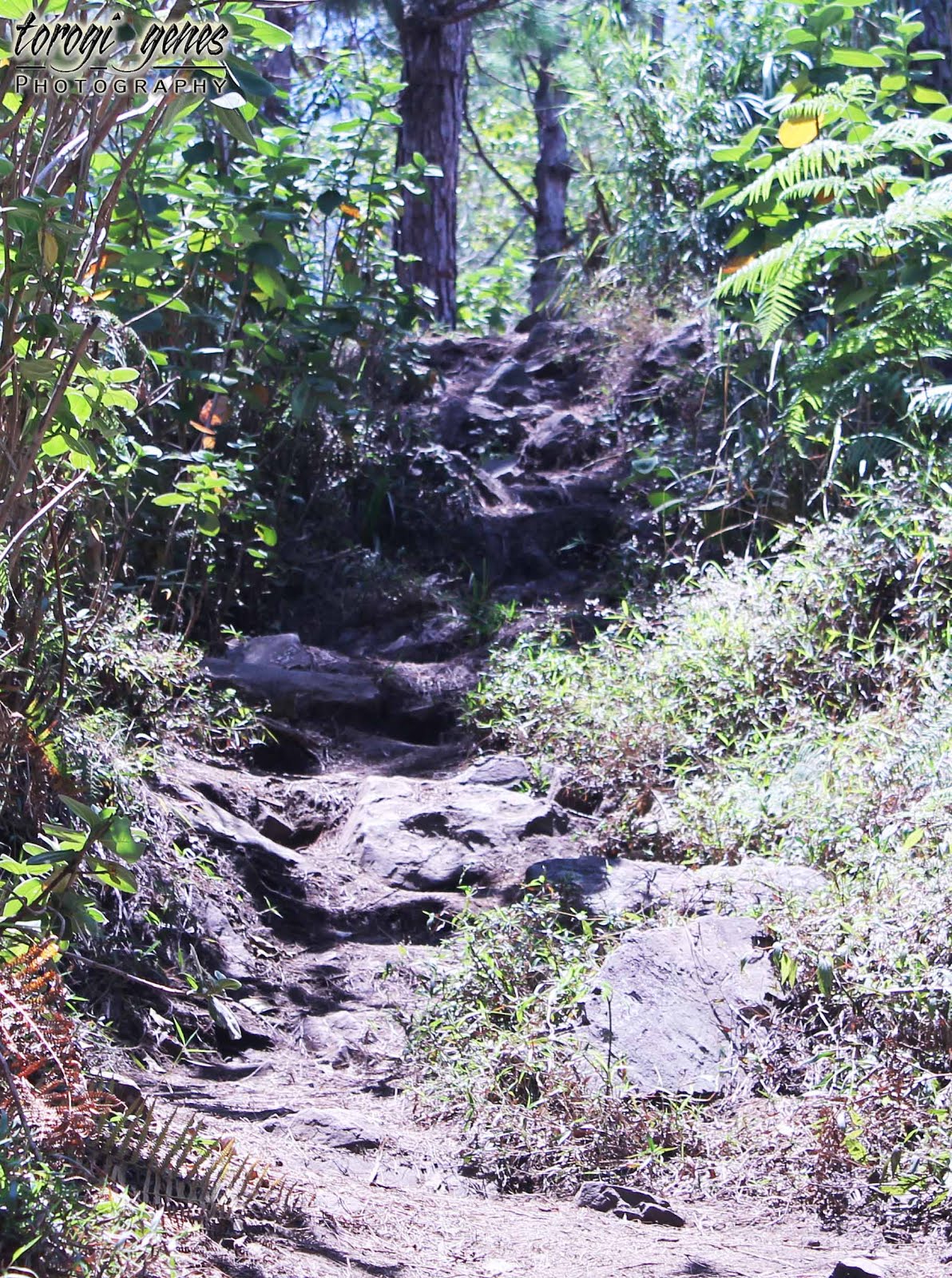
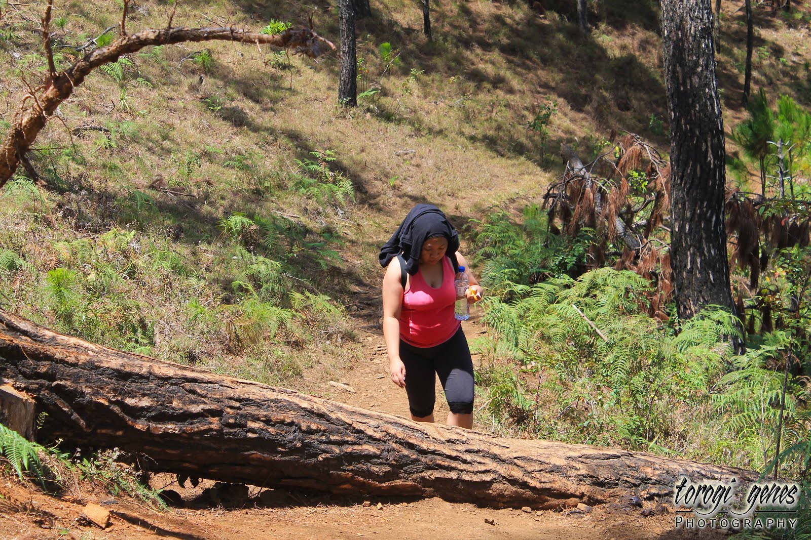
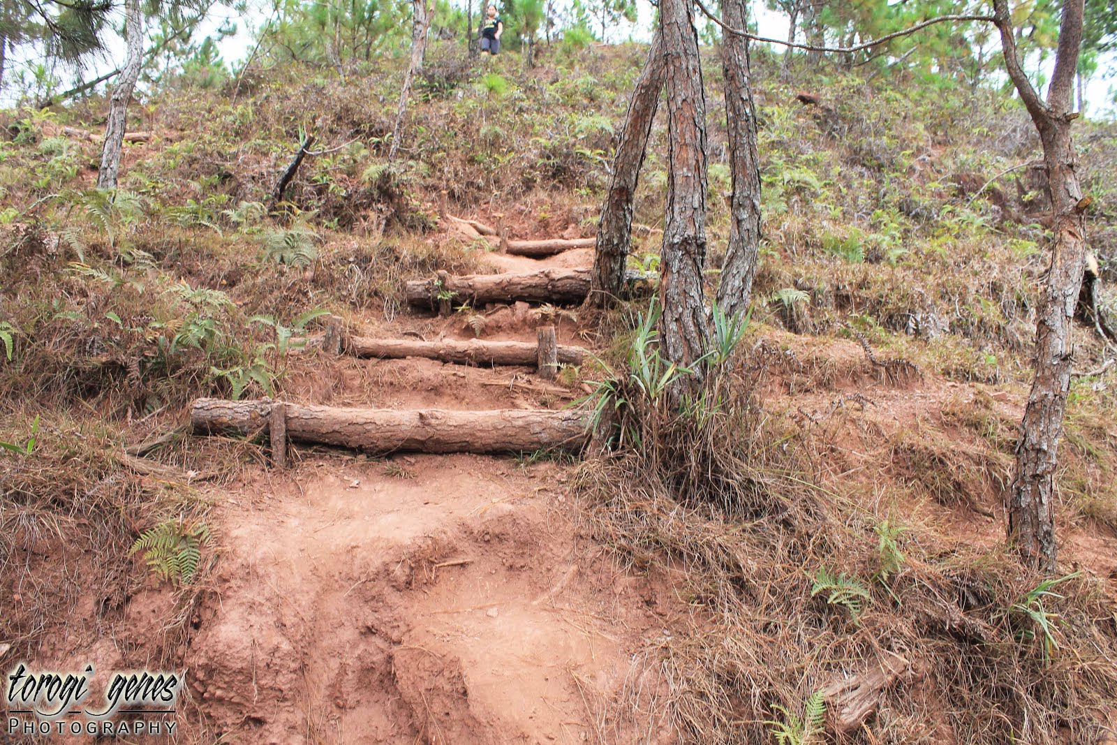
Traversing Bakun’s heavy-trodden paths will almost always lead you to a foot bridge. In each waterfall destination, you will almost always pass through these hanging bridges. It may seem challenging to those who fear height but it surely does bring excitement walking through each of them.

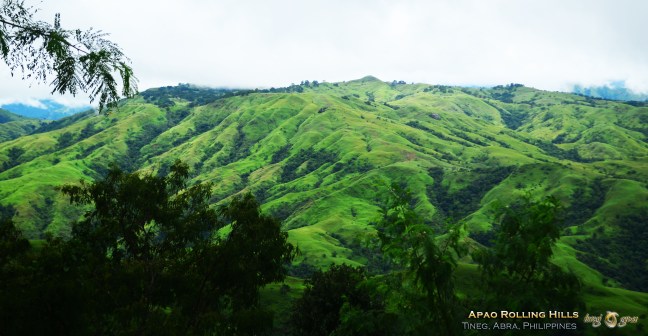
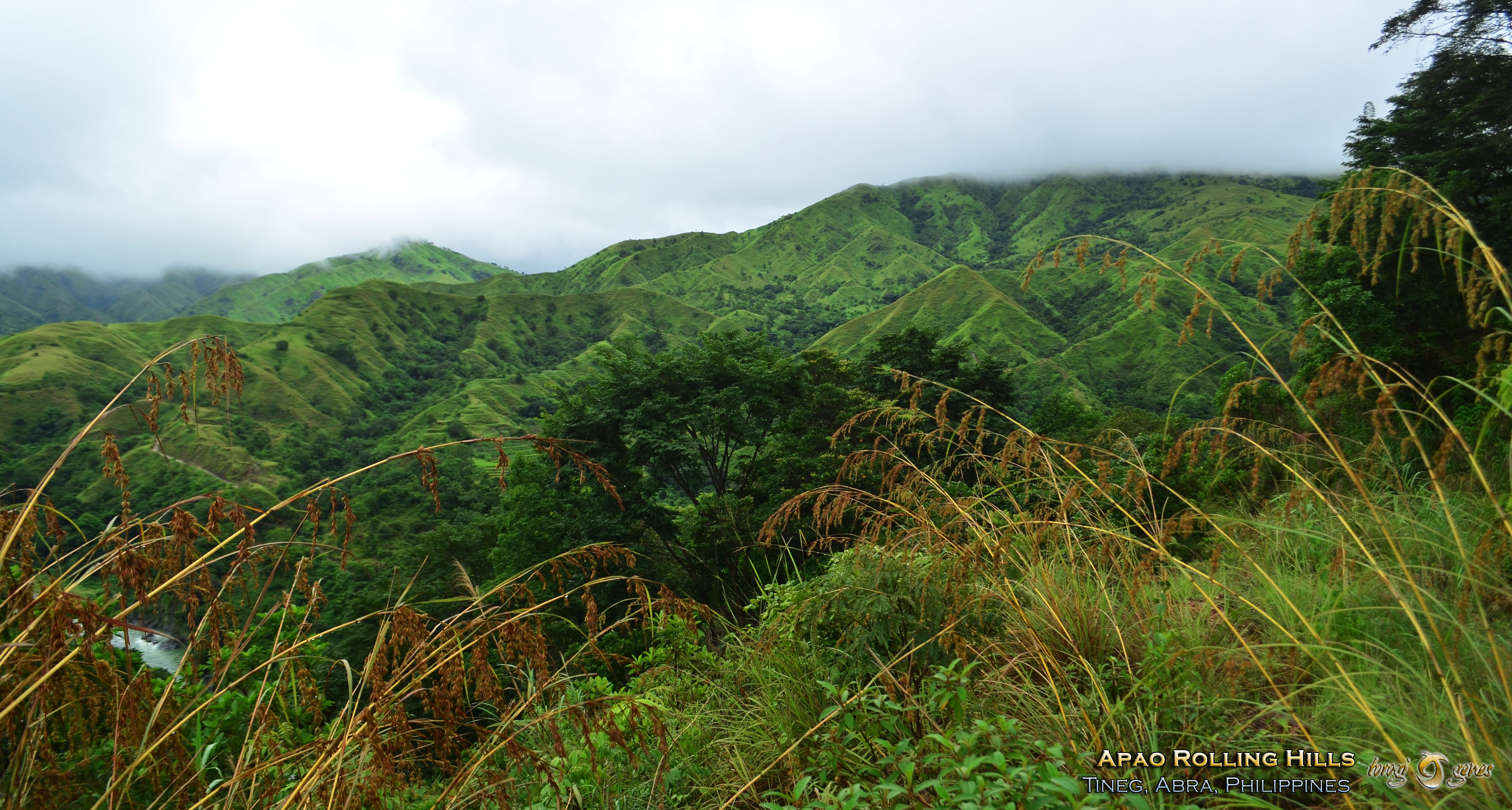
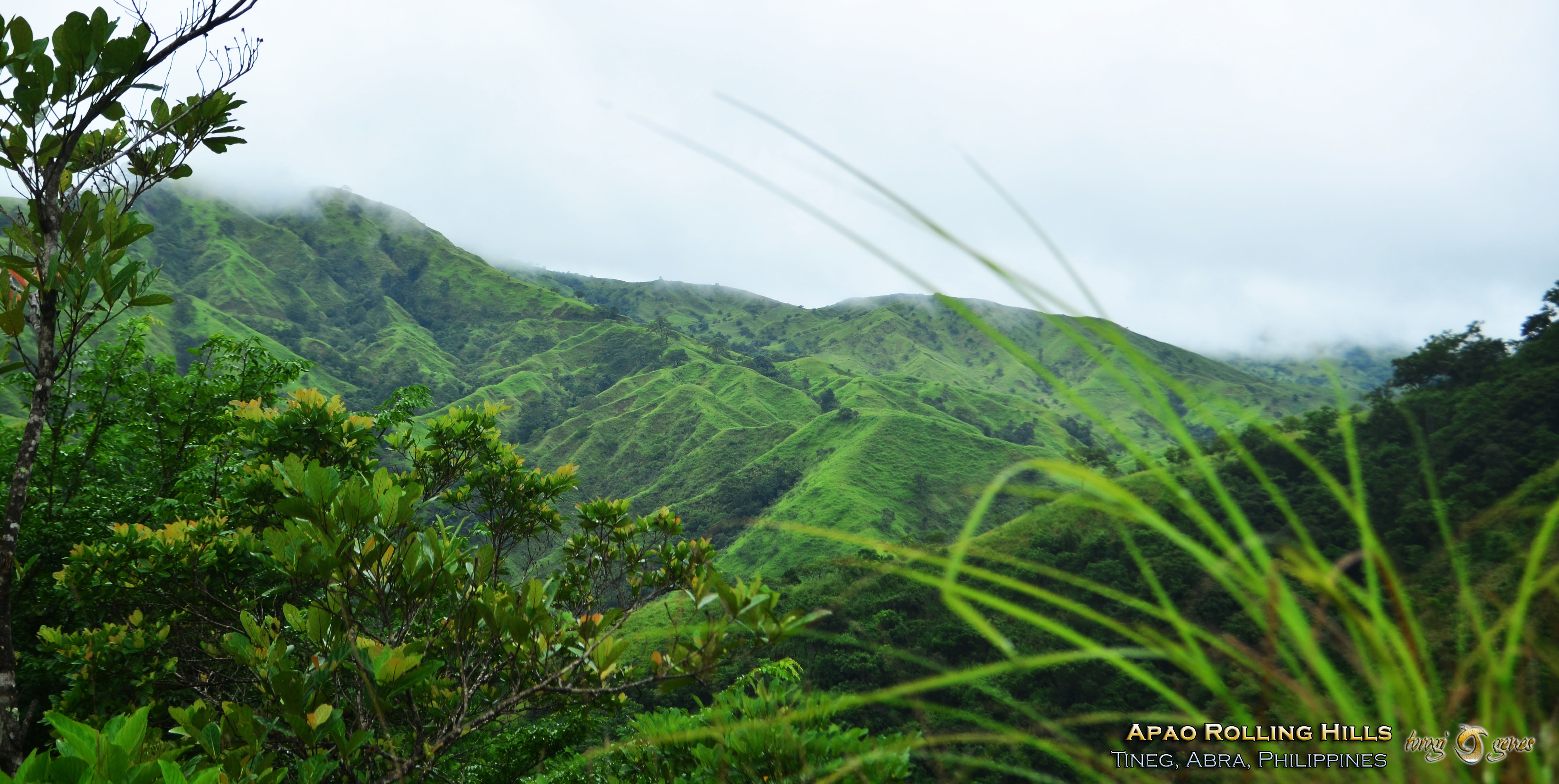
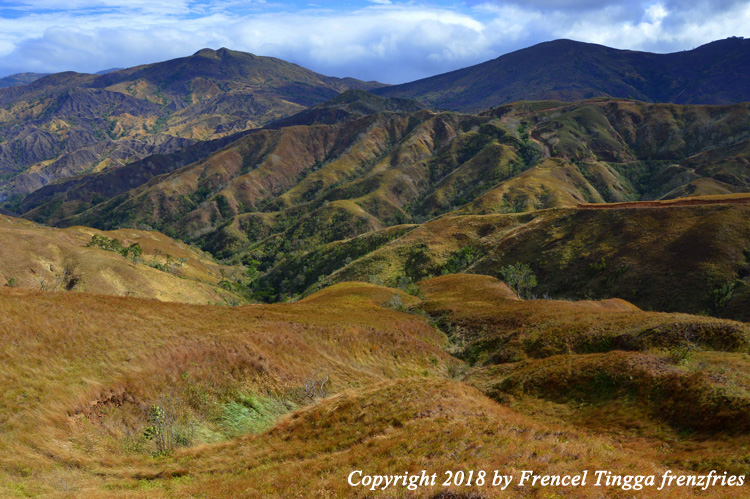
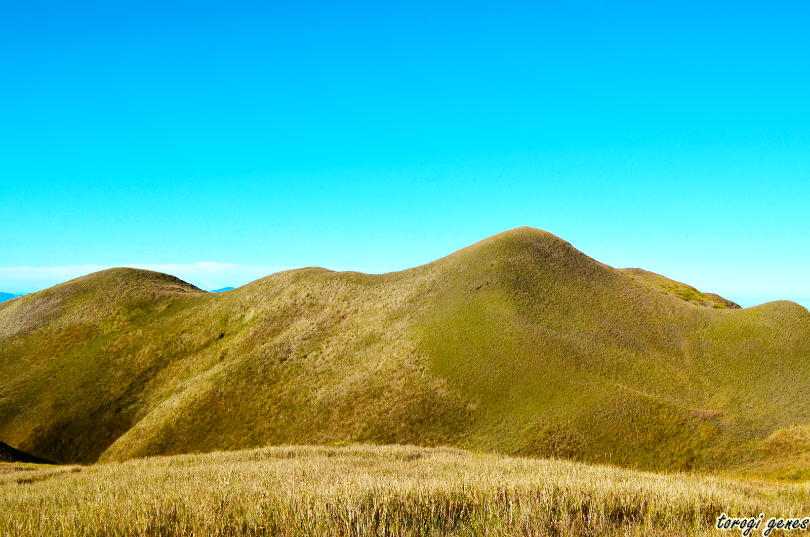
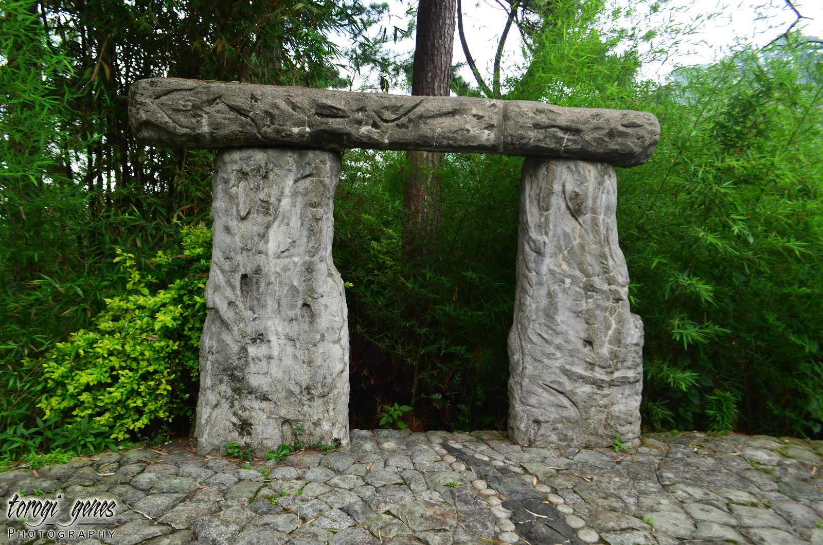
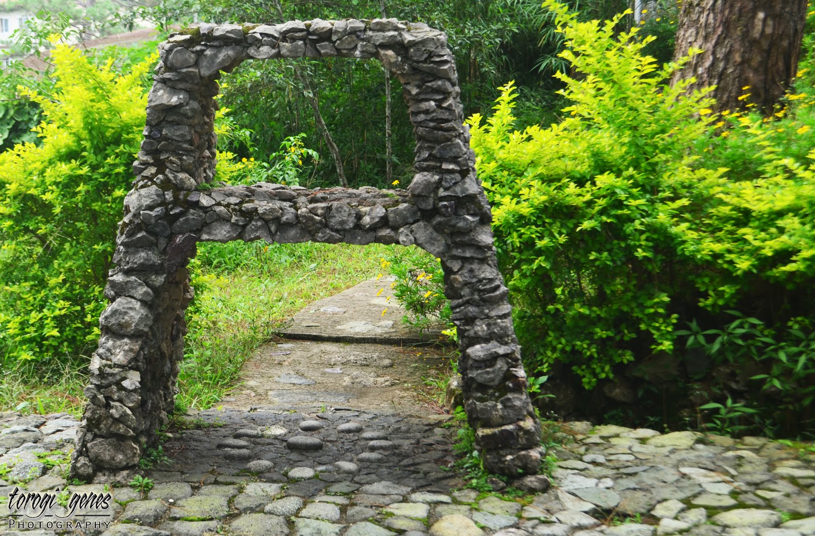
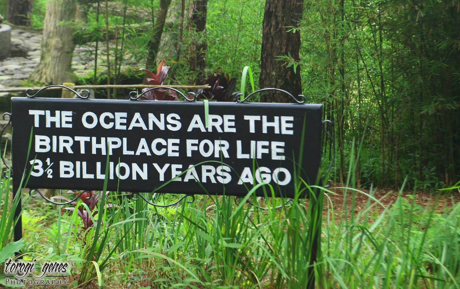
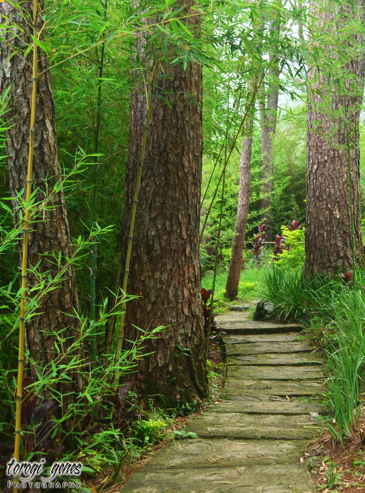
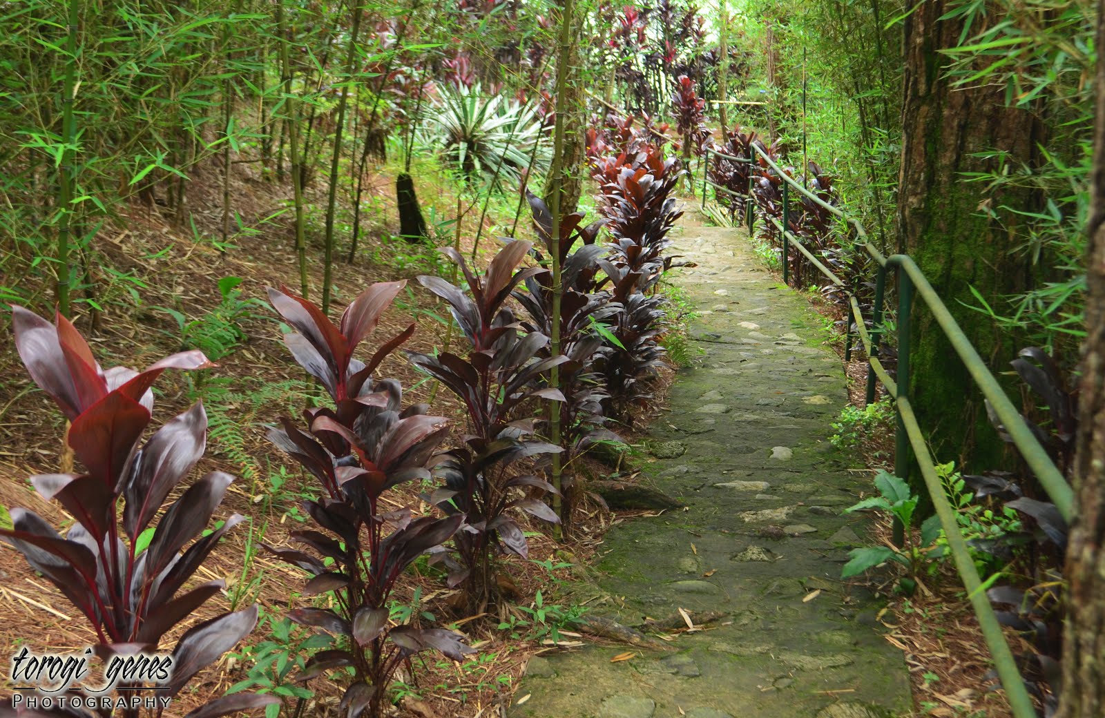
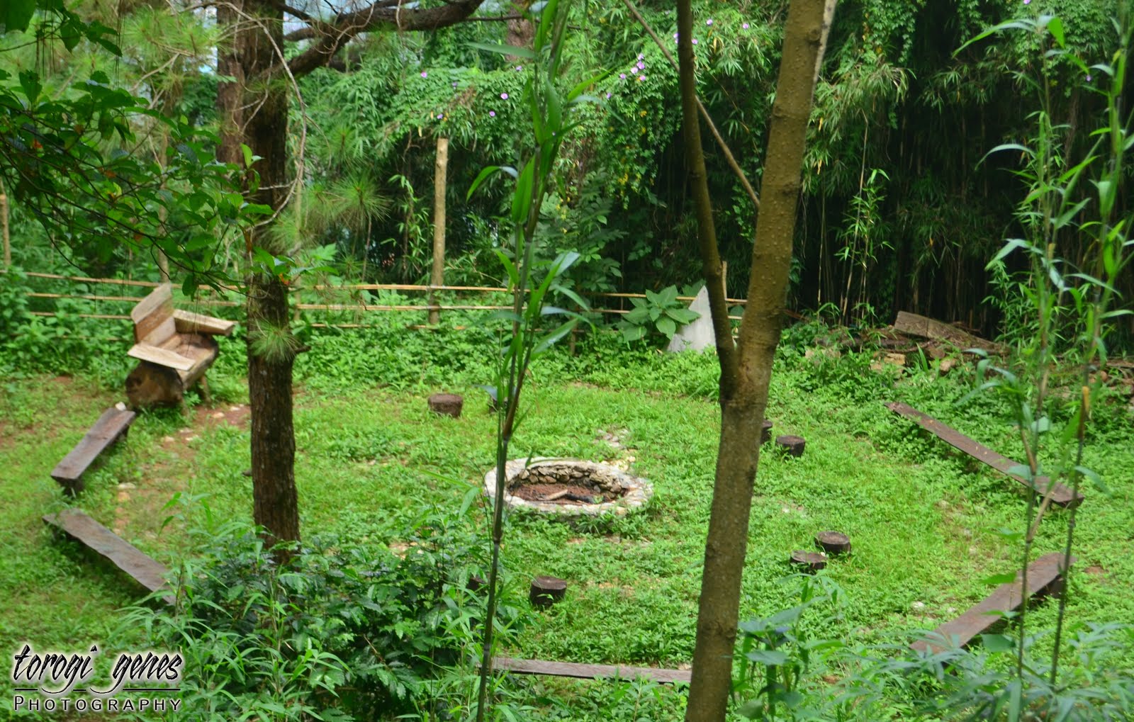
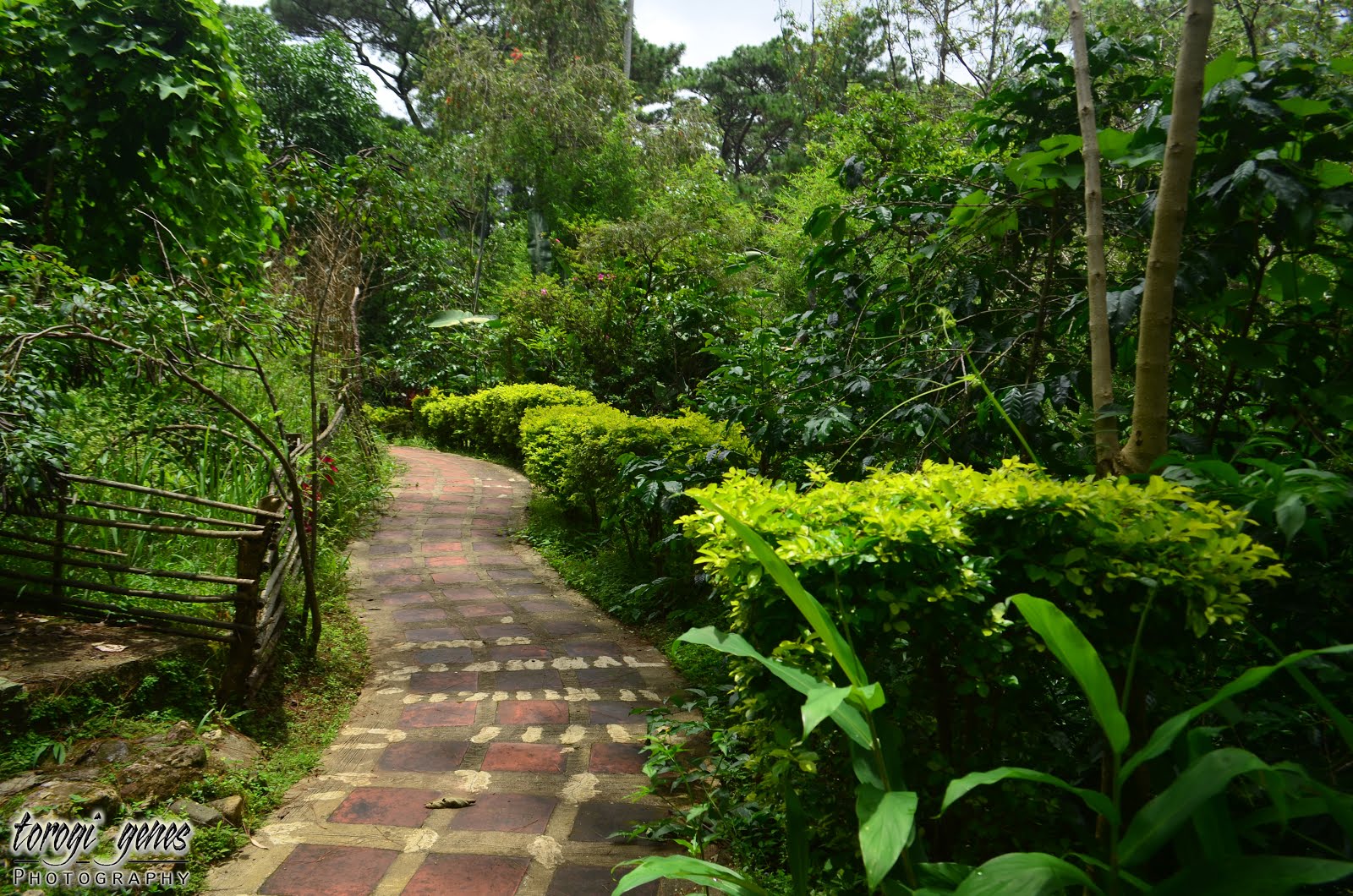
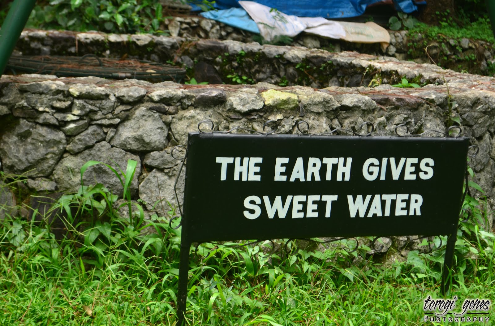
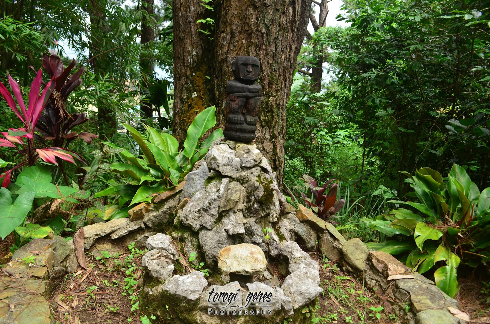
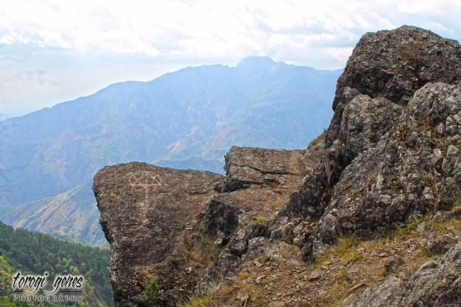
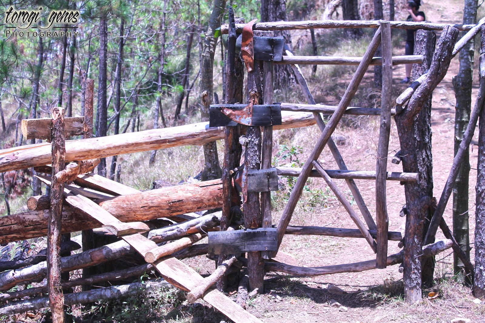
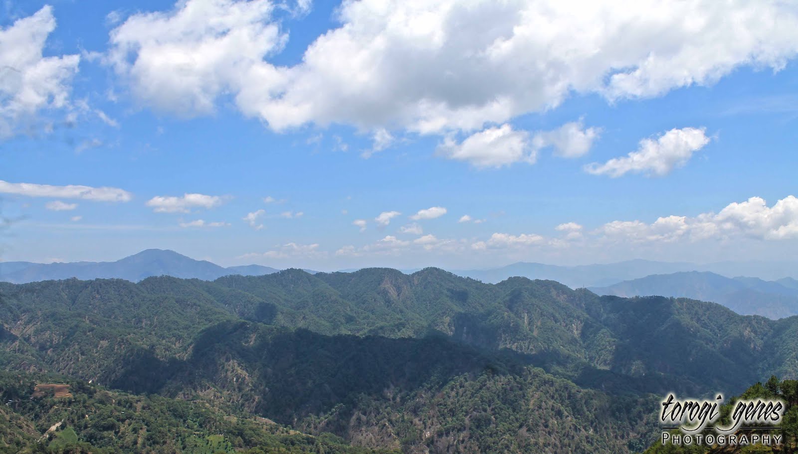
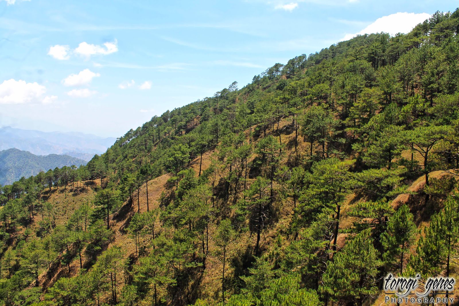
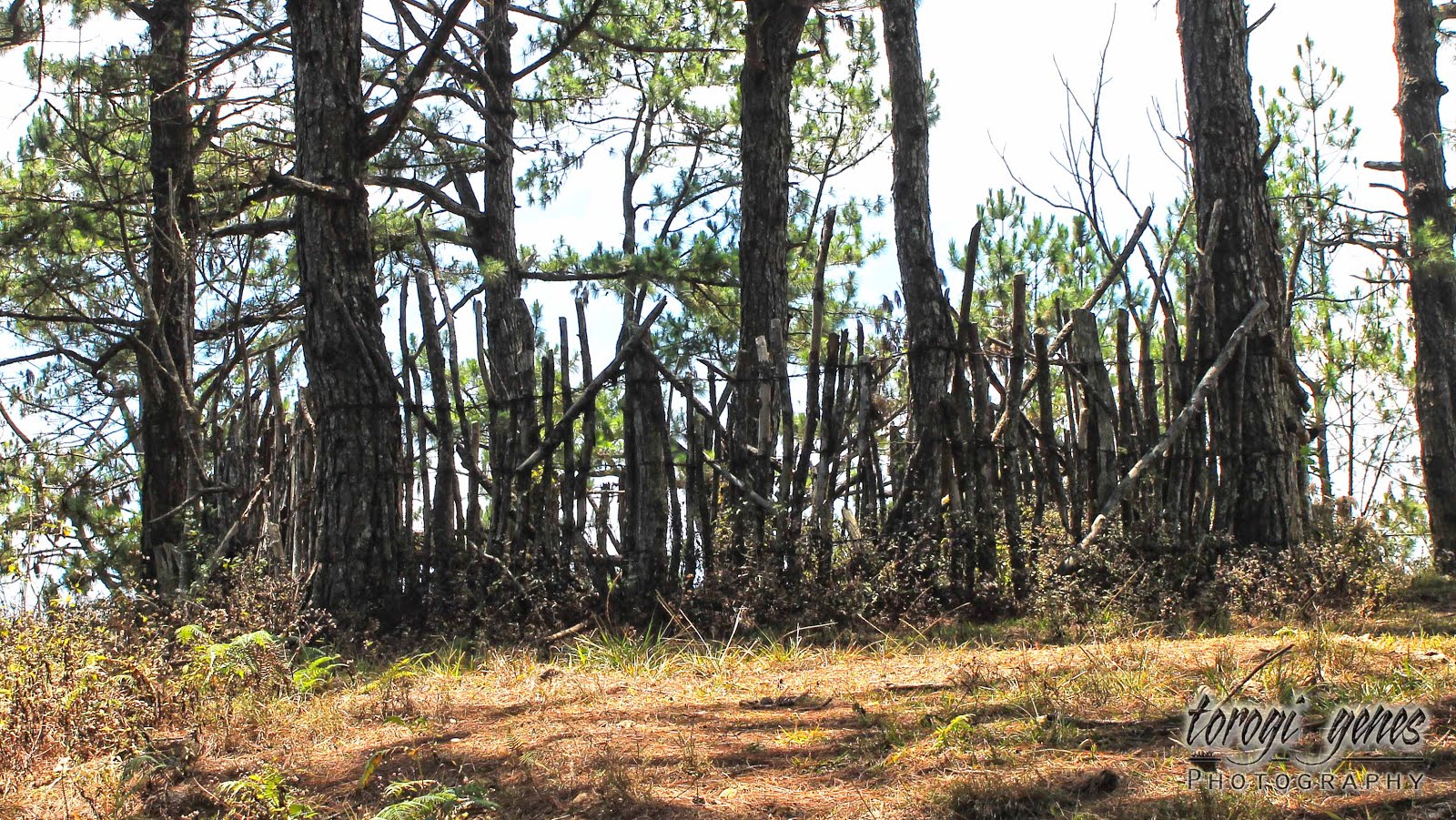
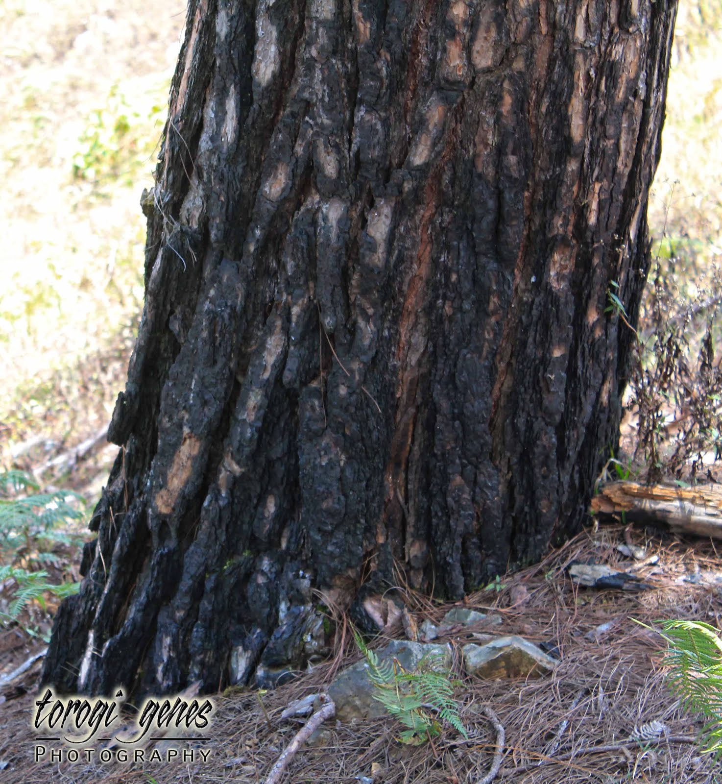
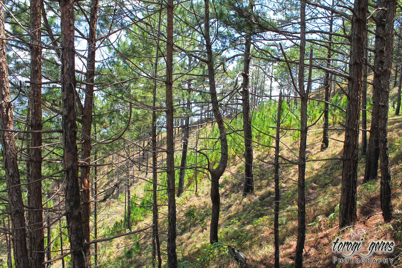
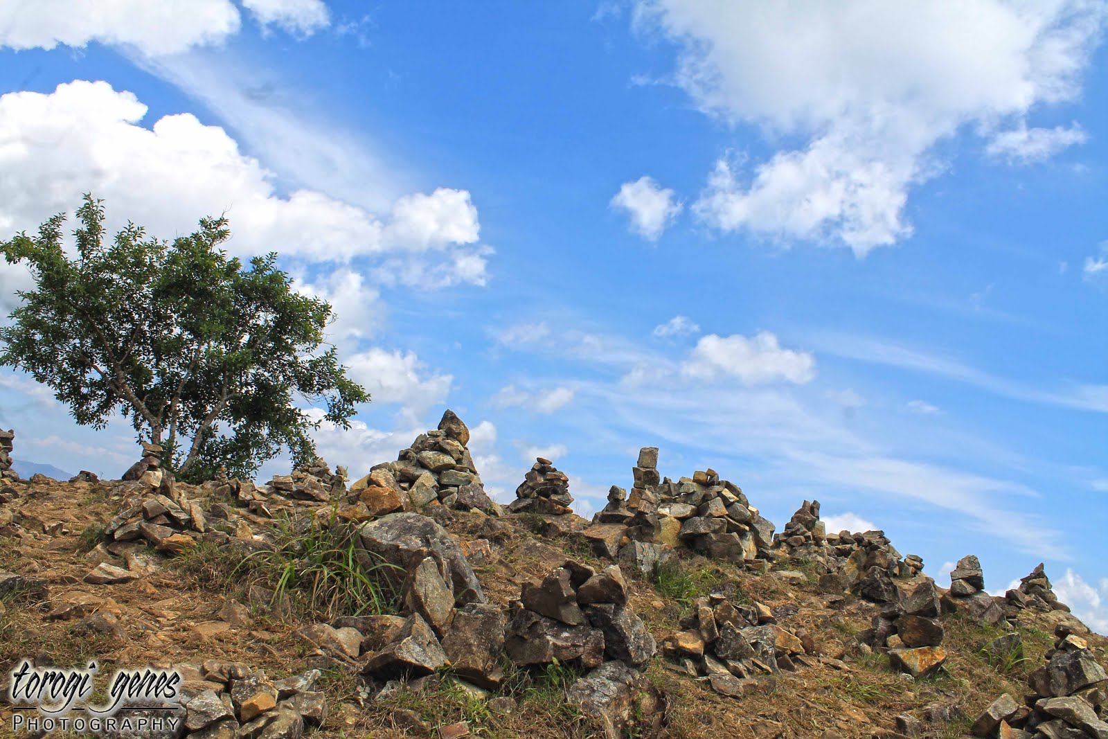
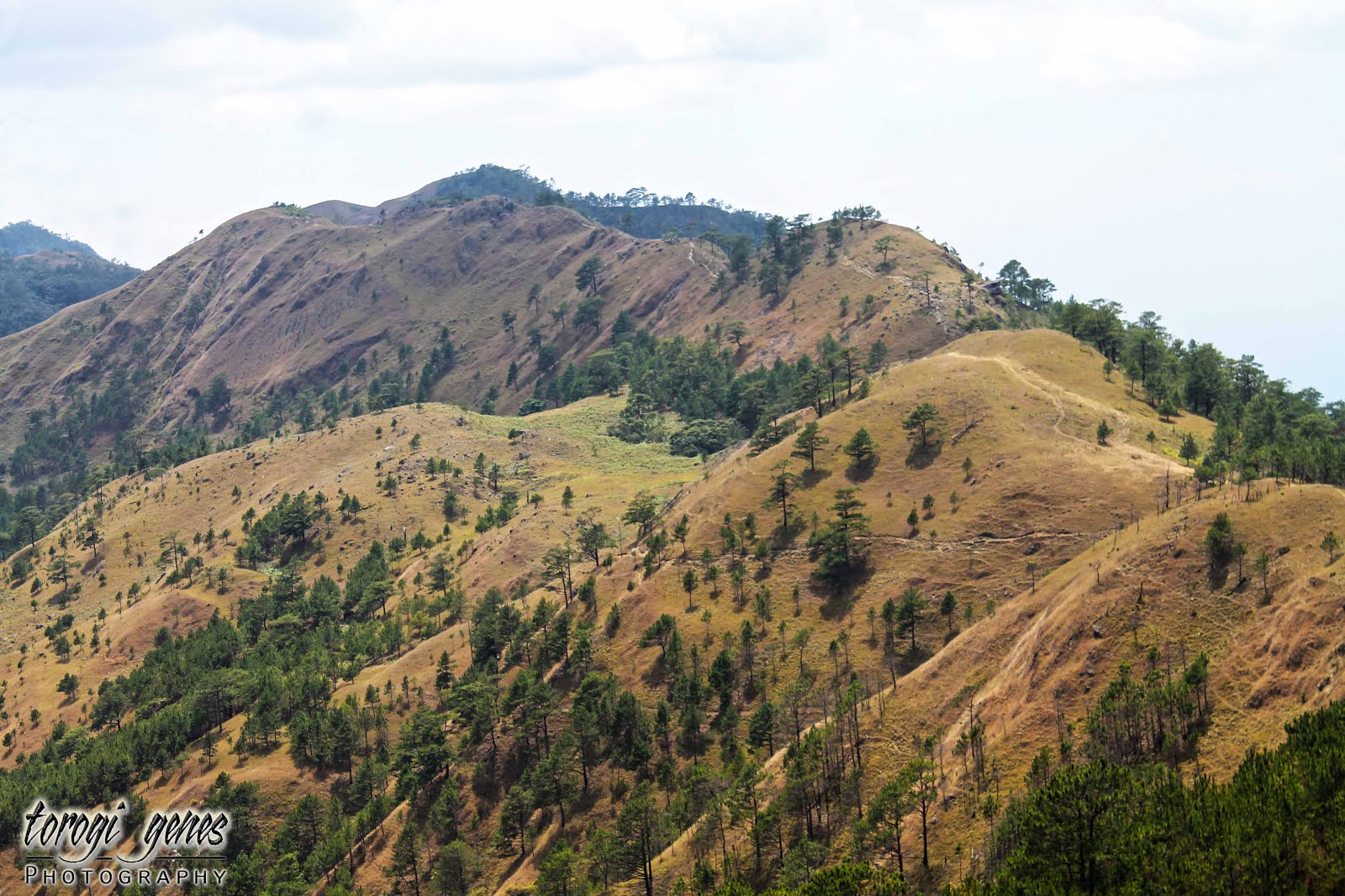
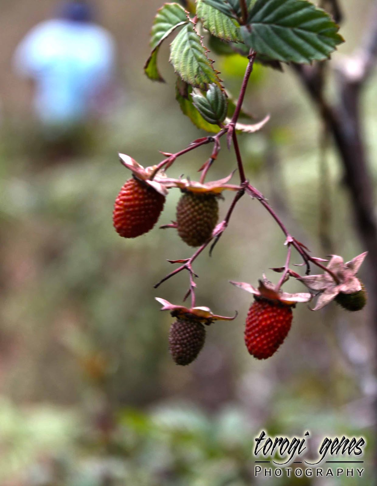
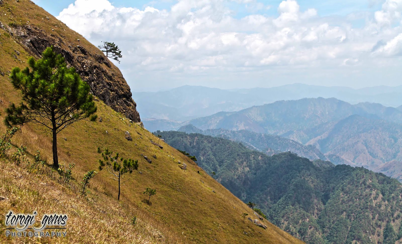
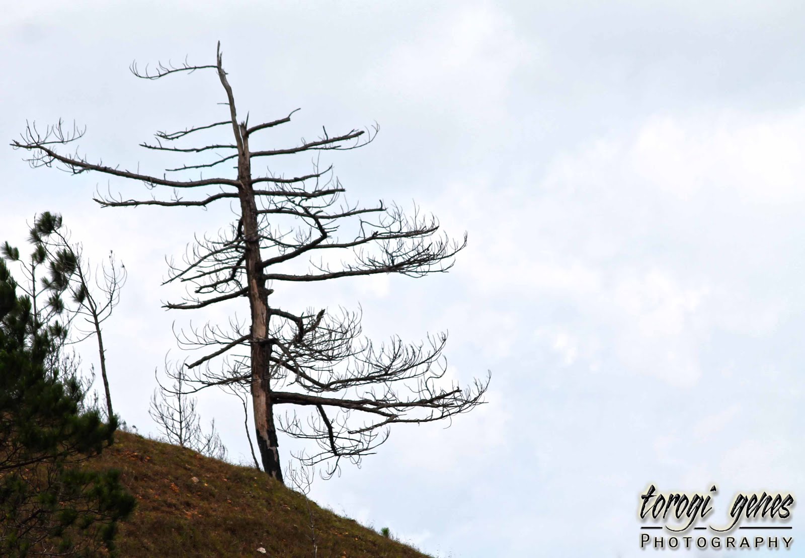
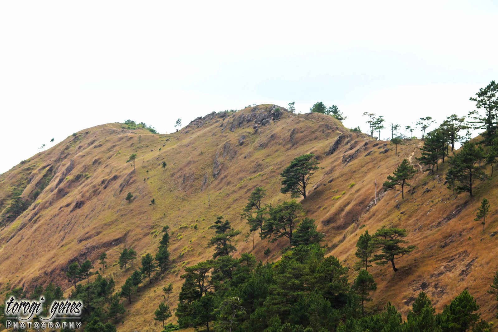
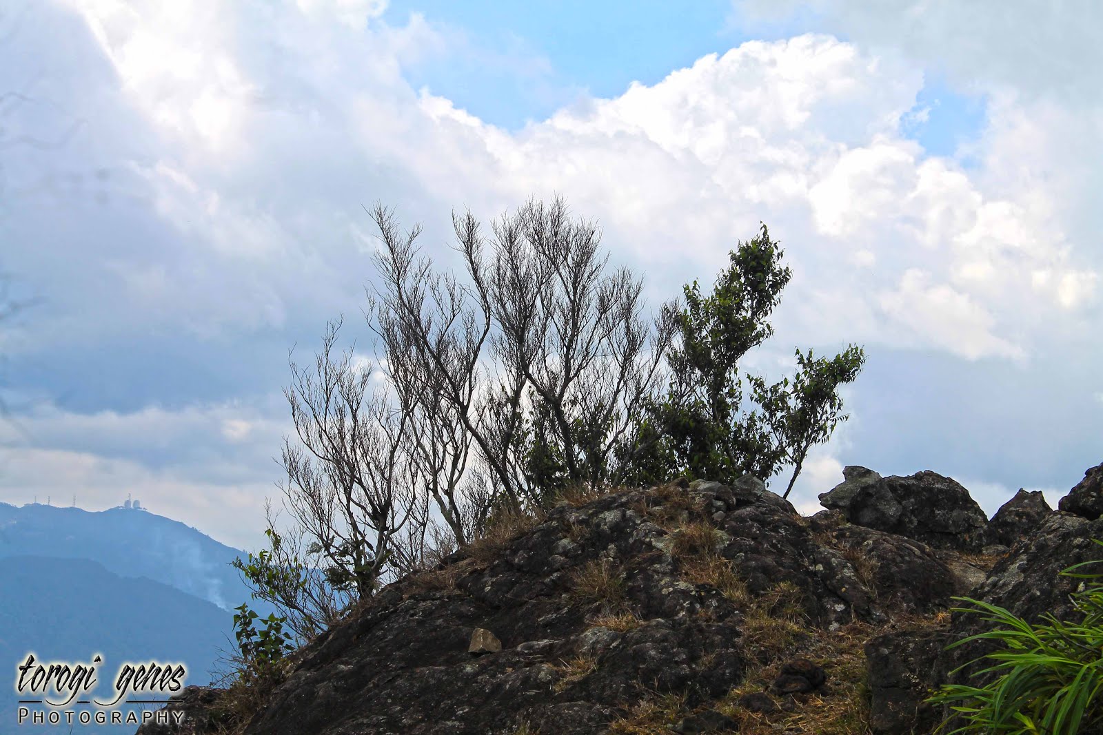
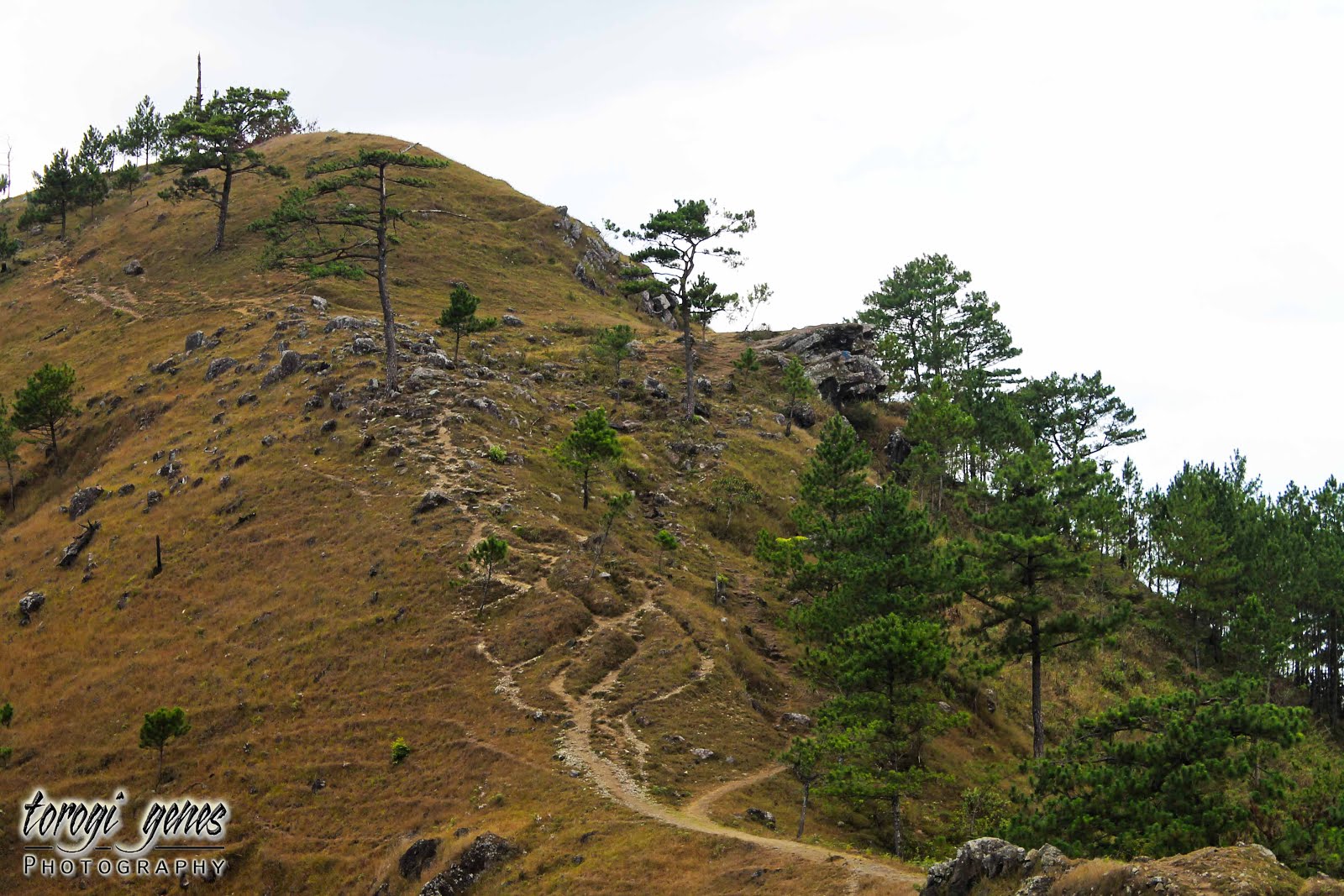
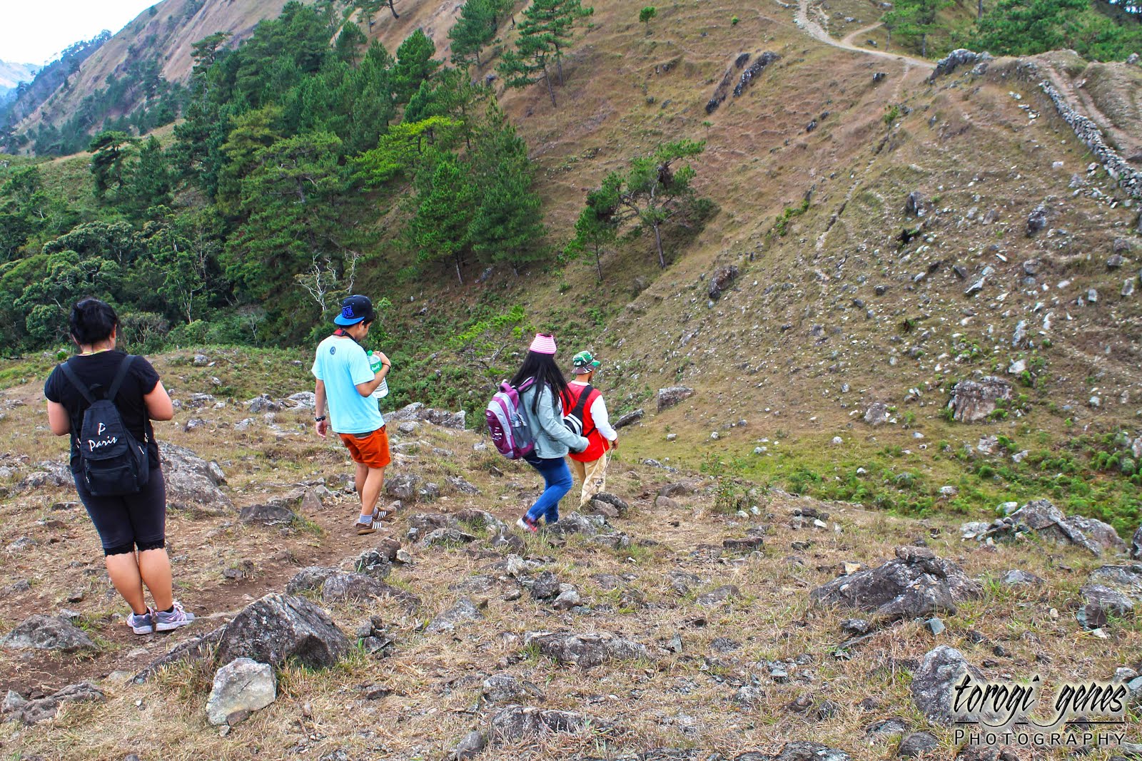
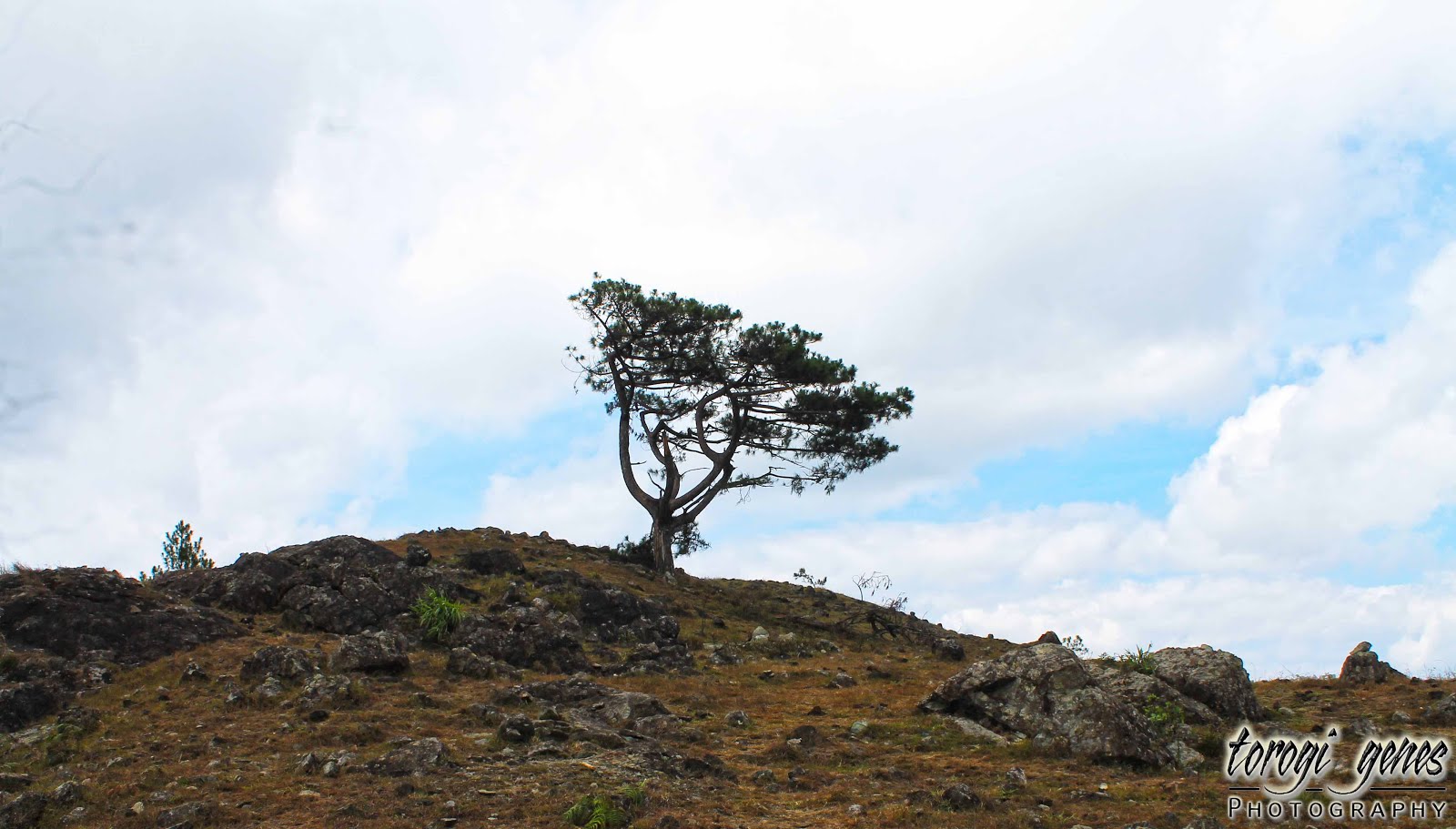
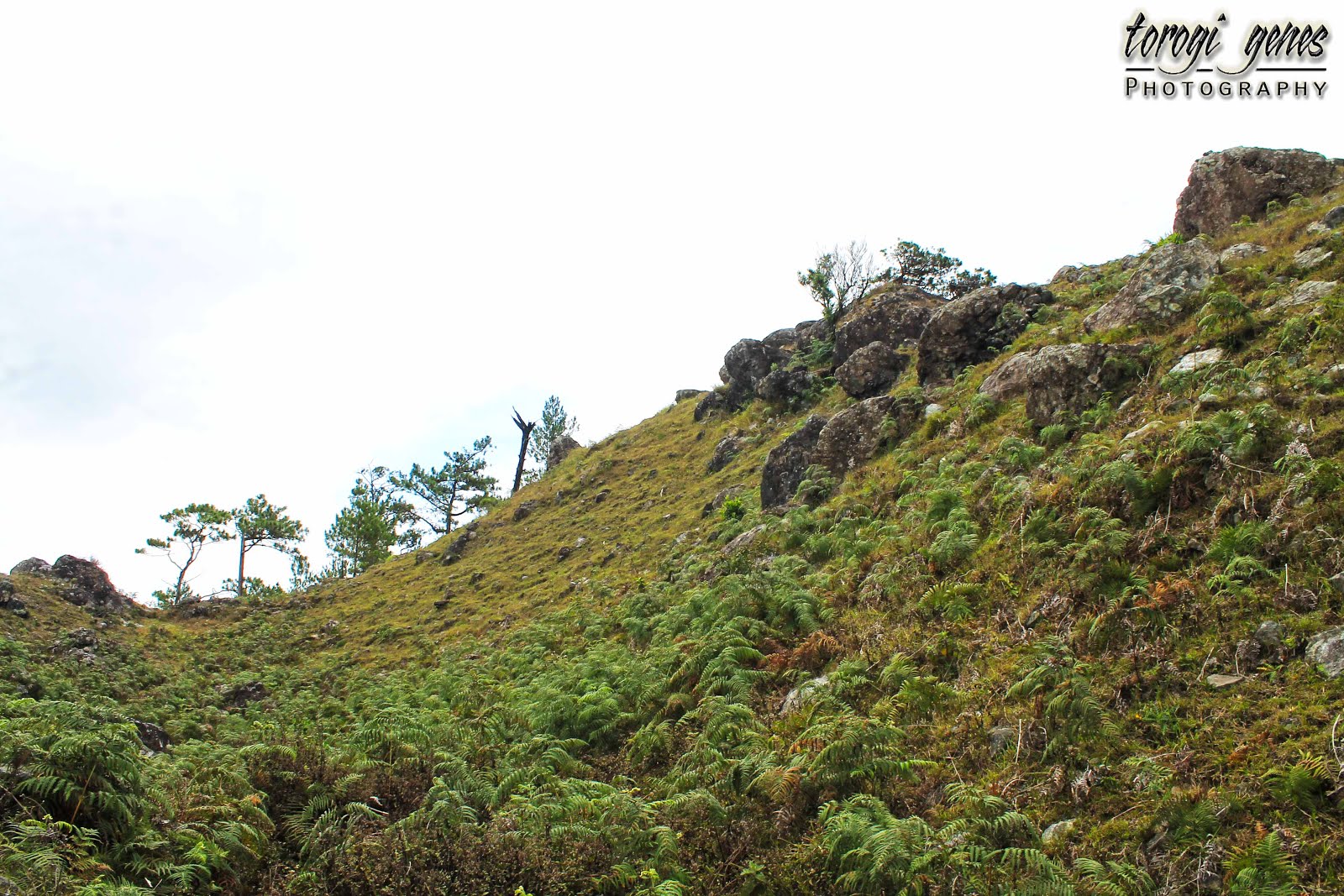
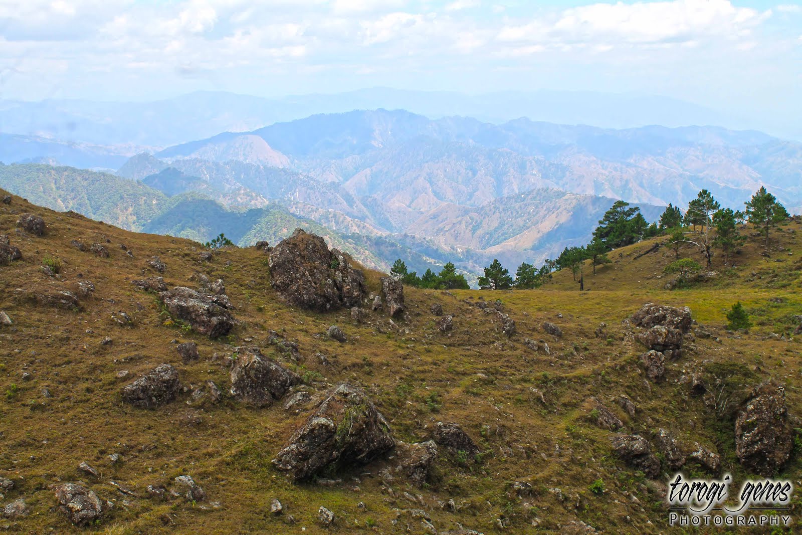
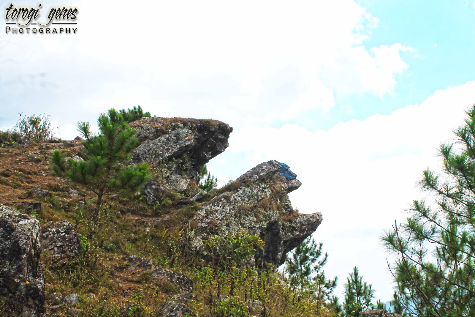
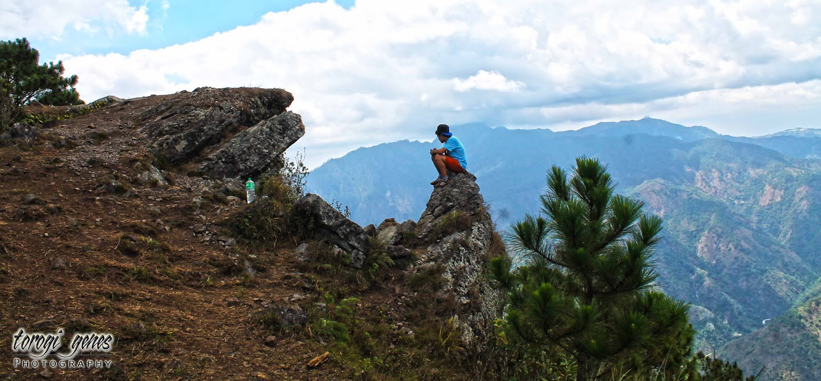
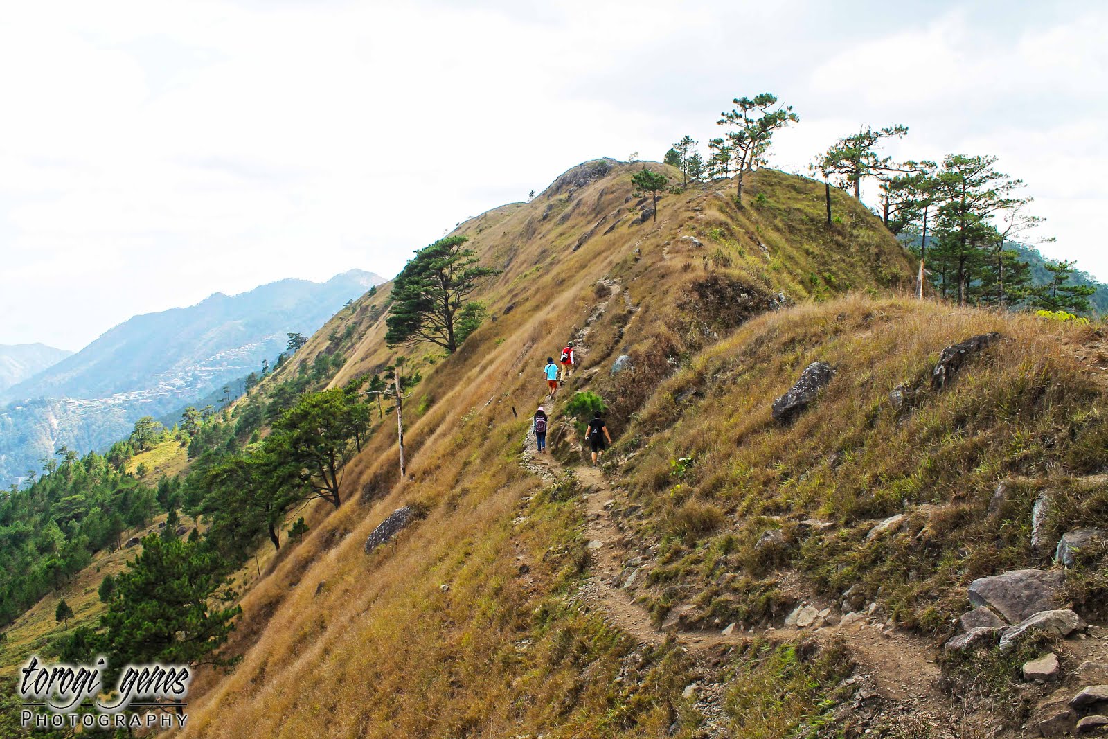
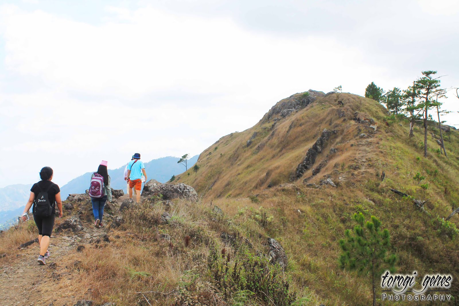
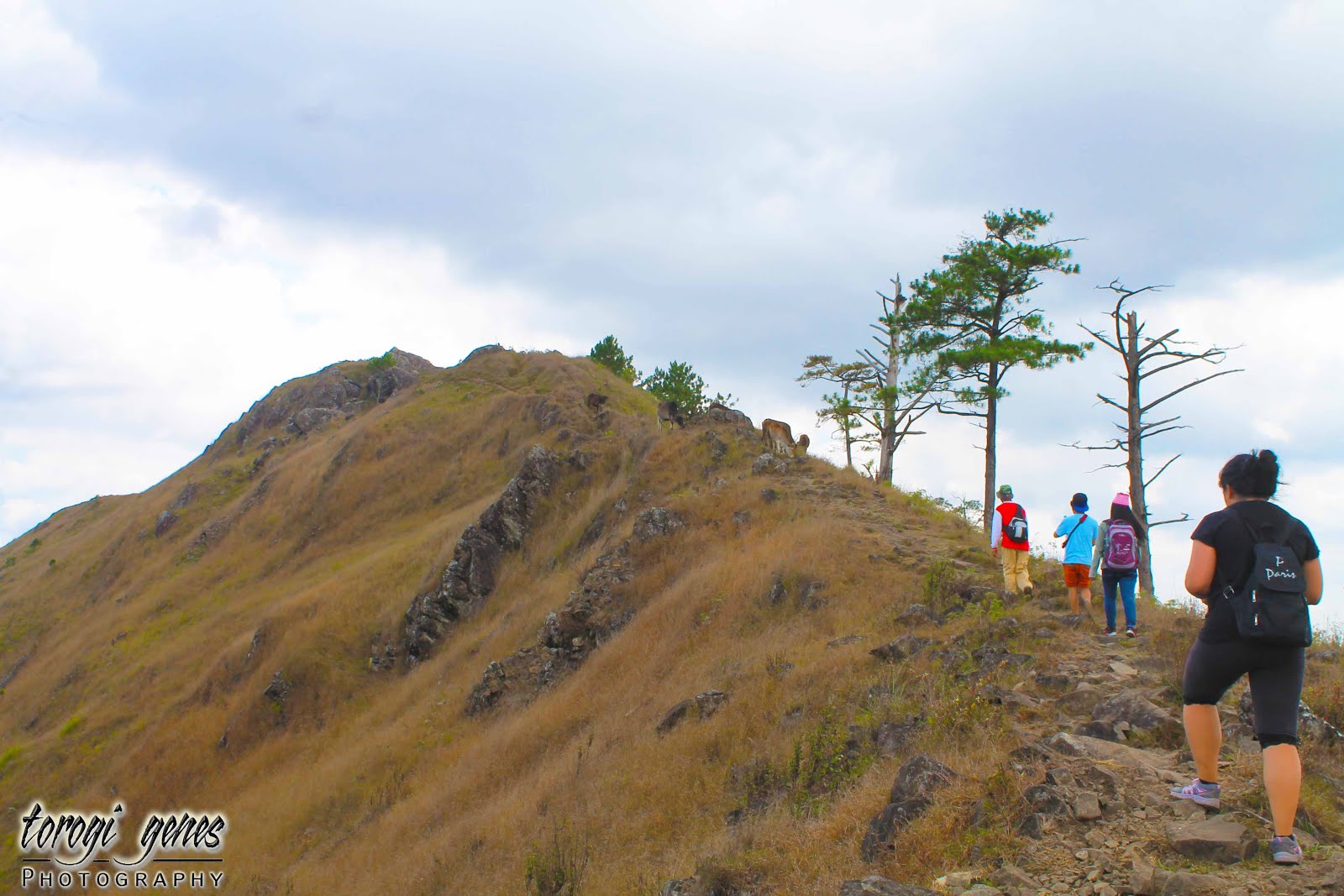
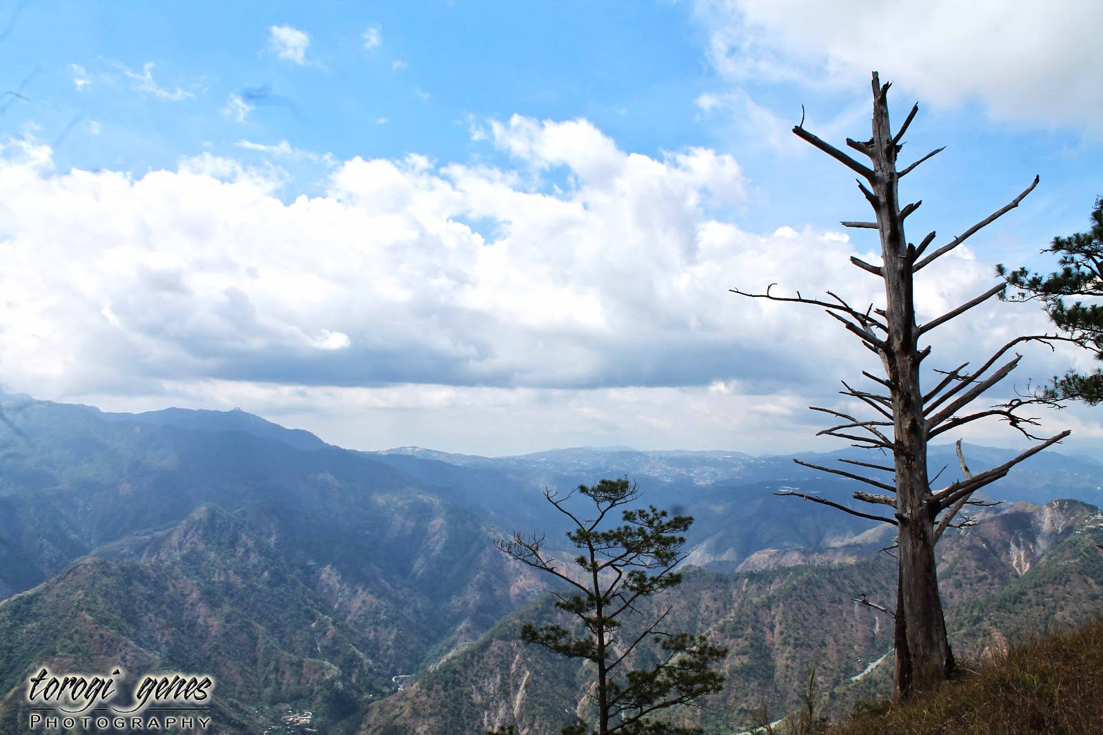
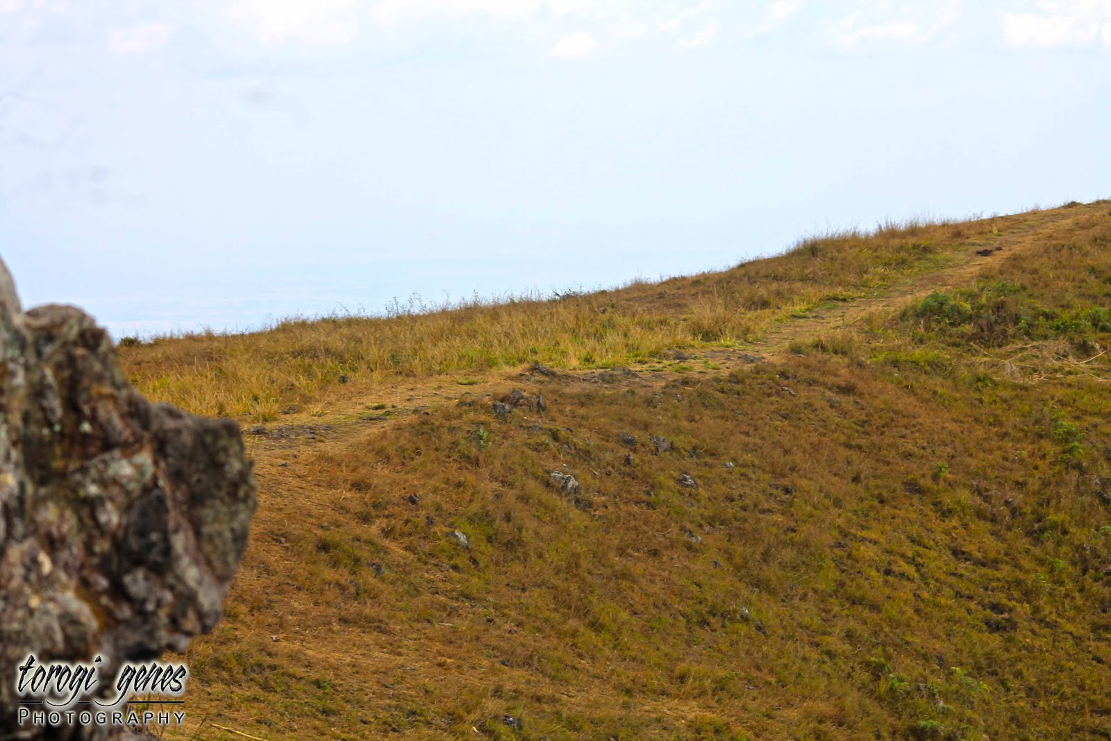
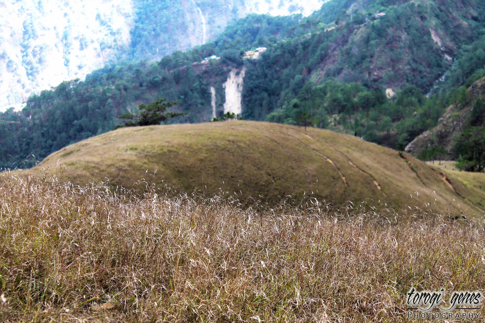
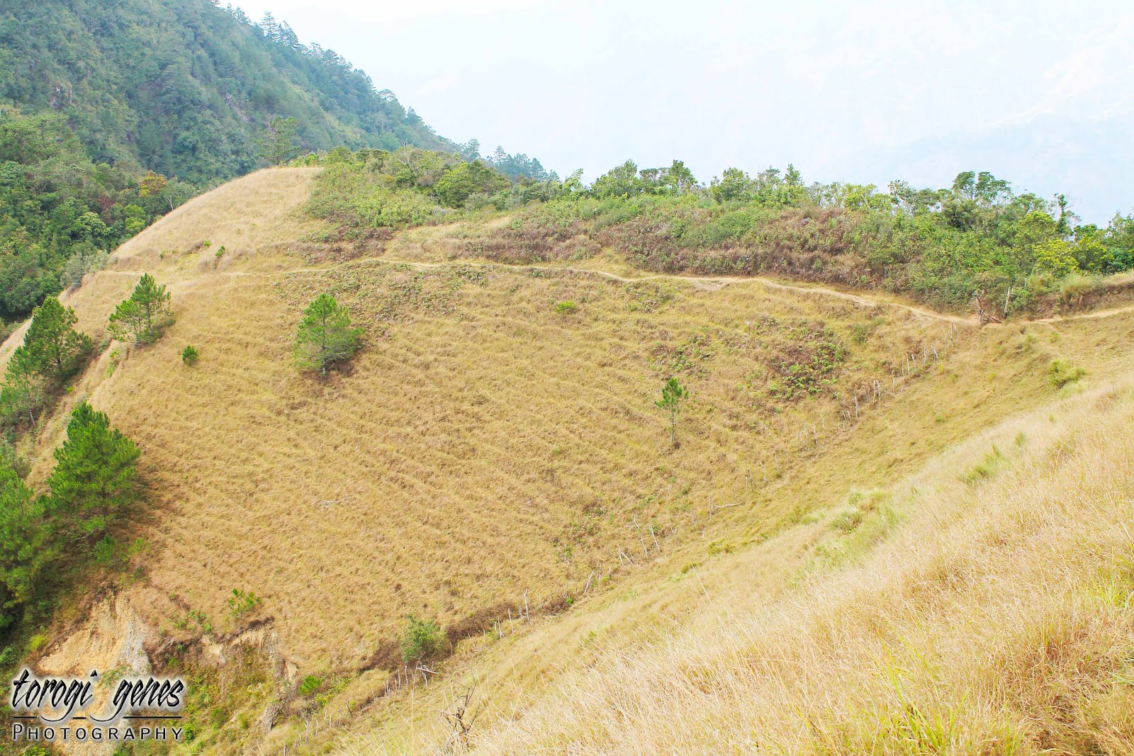
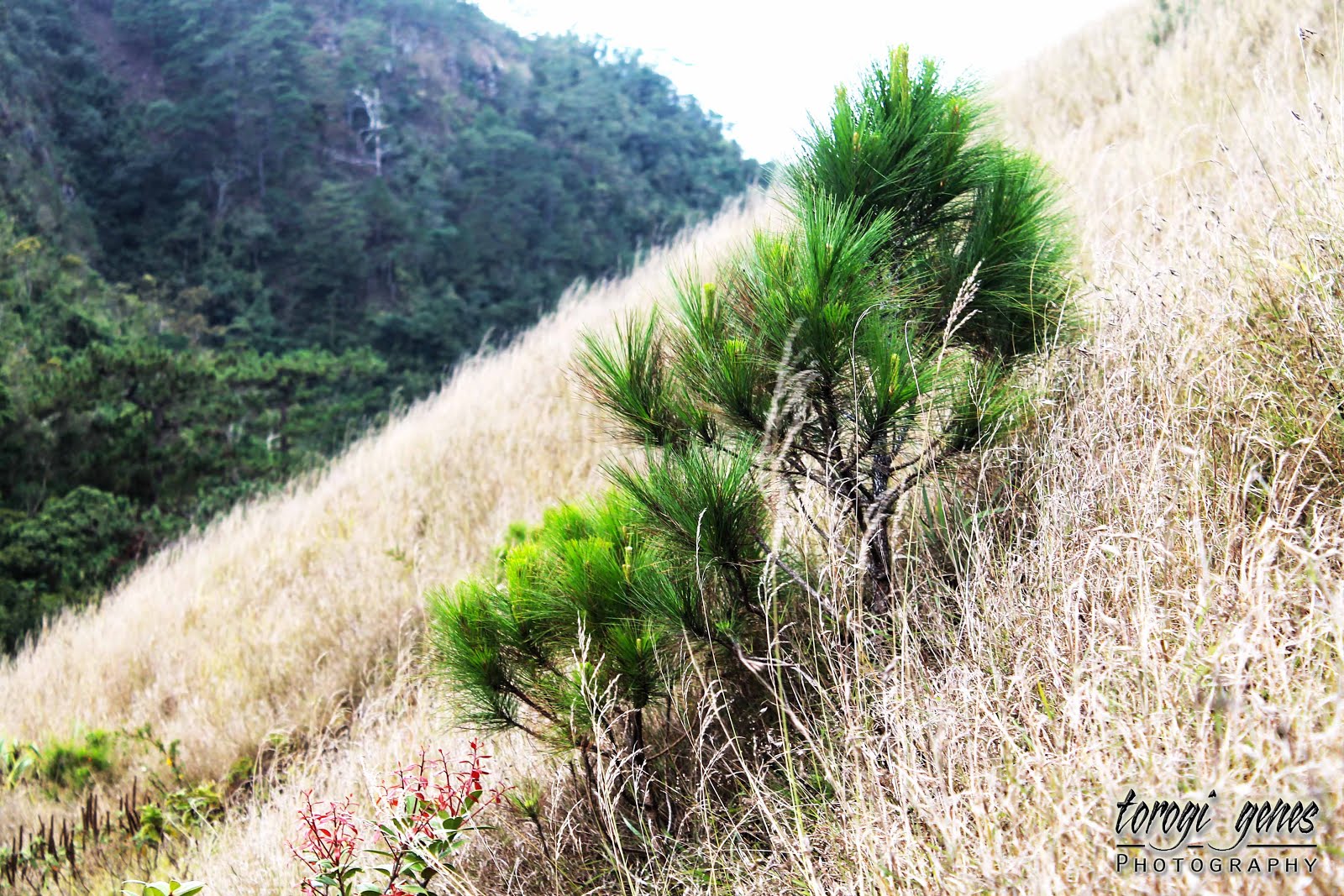
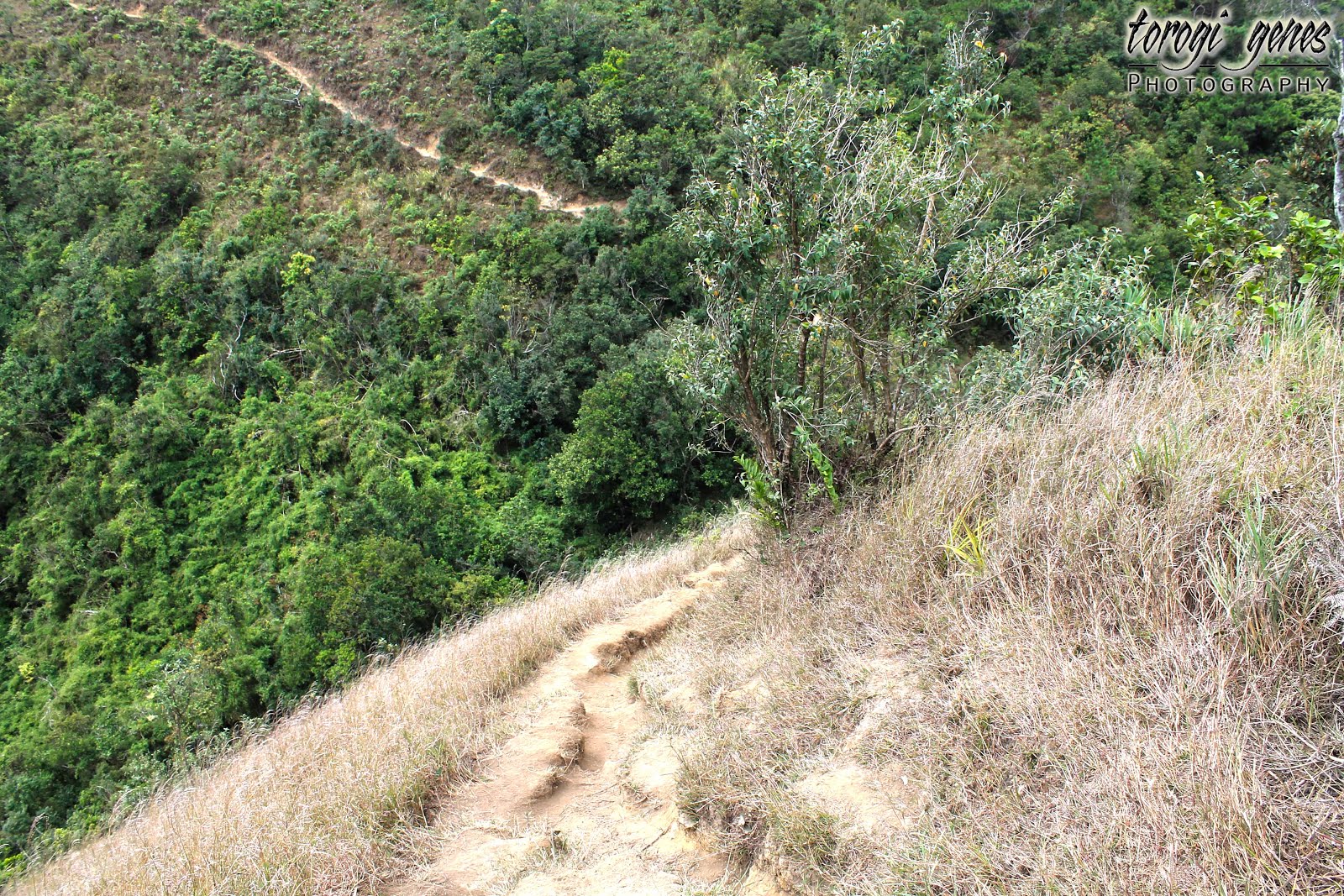
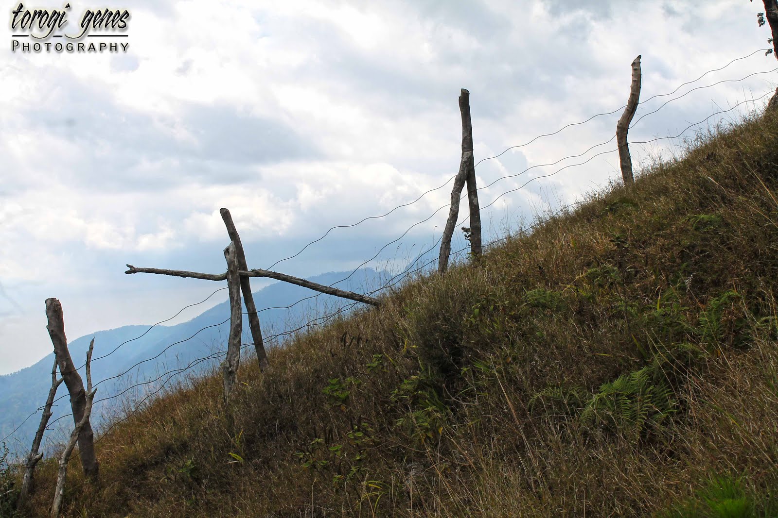
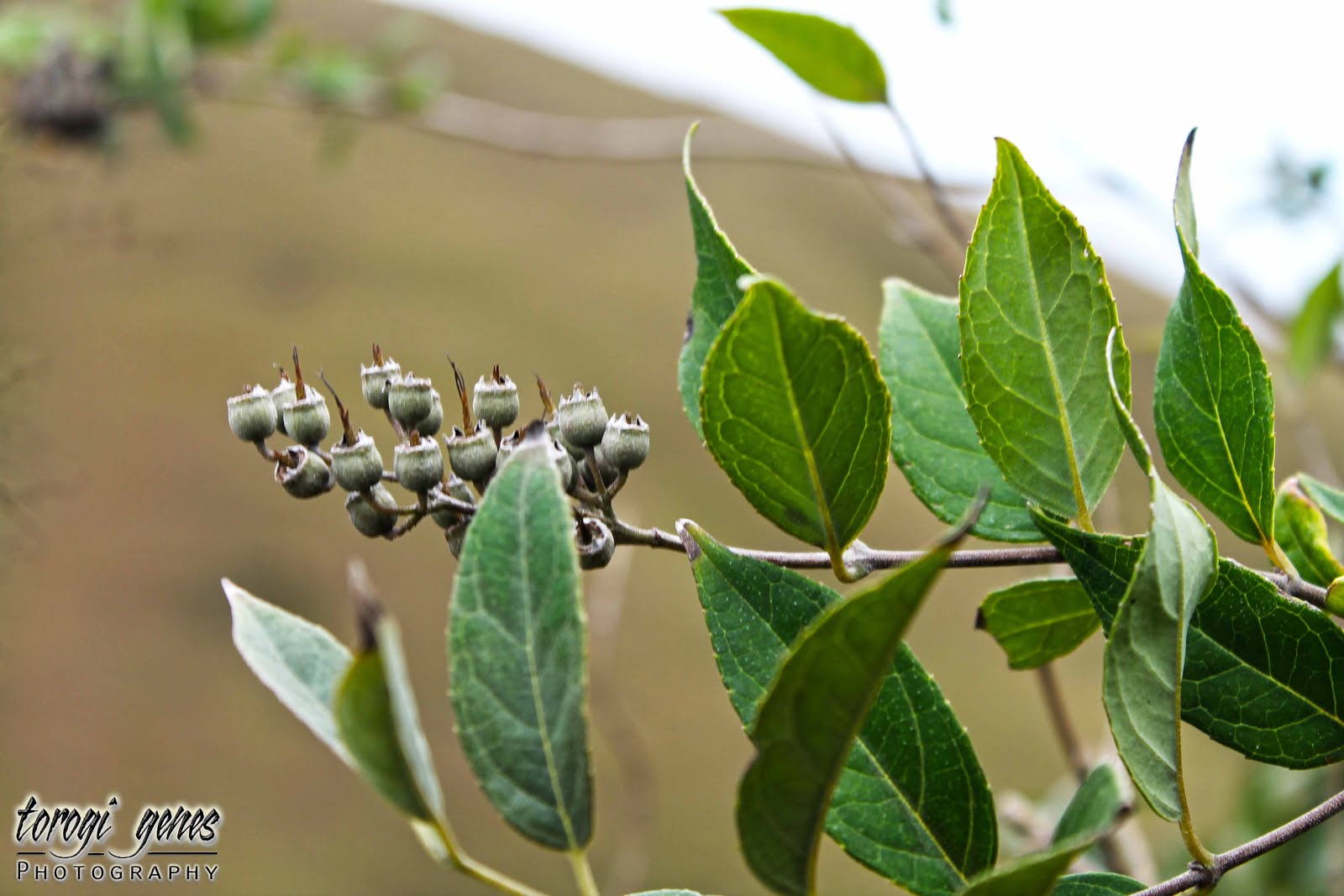
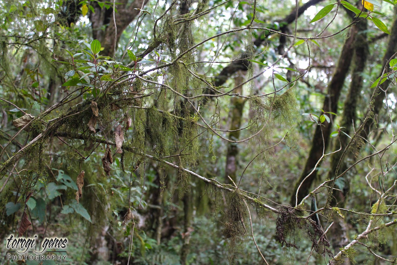
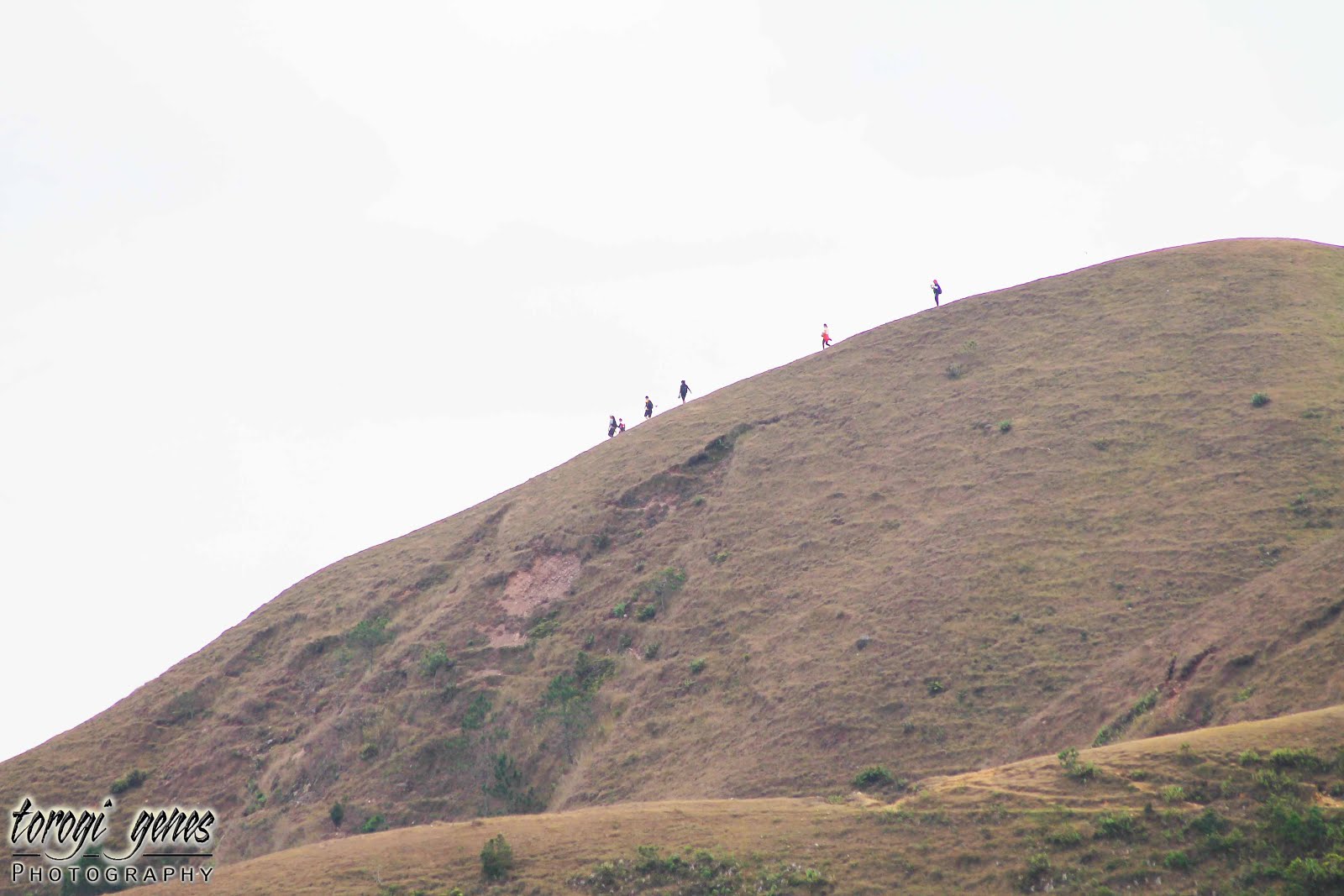
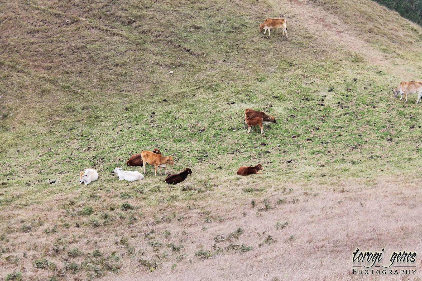
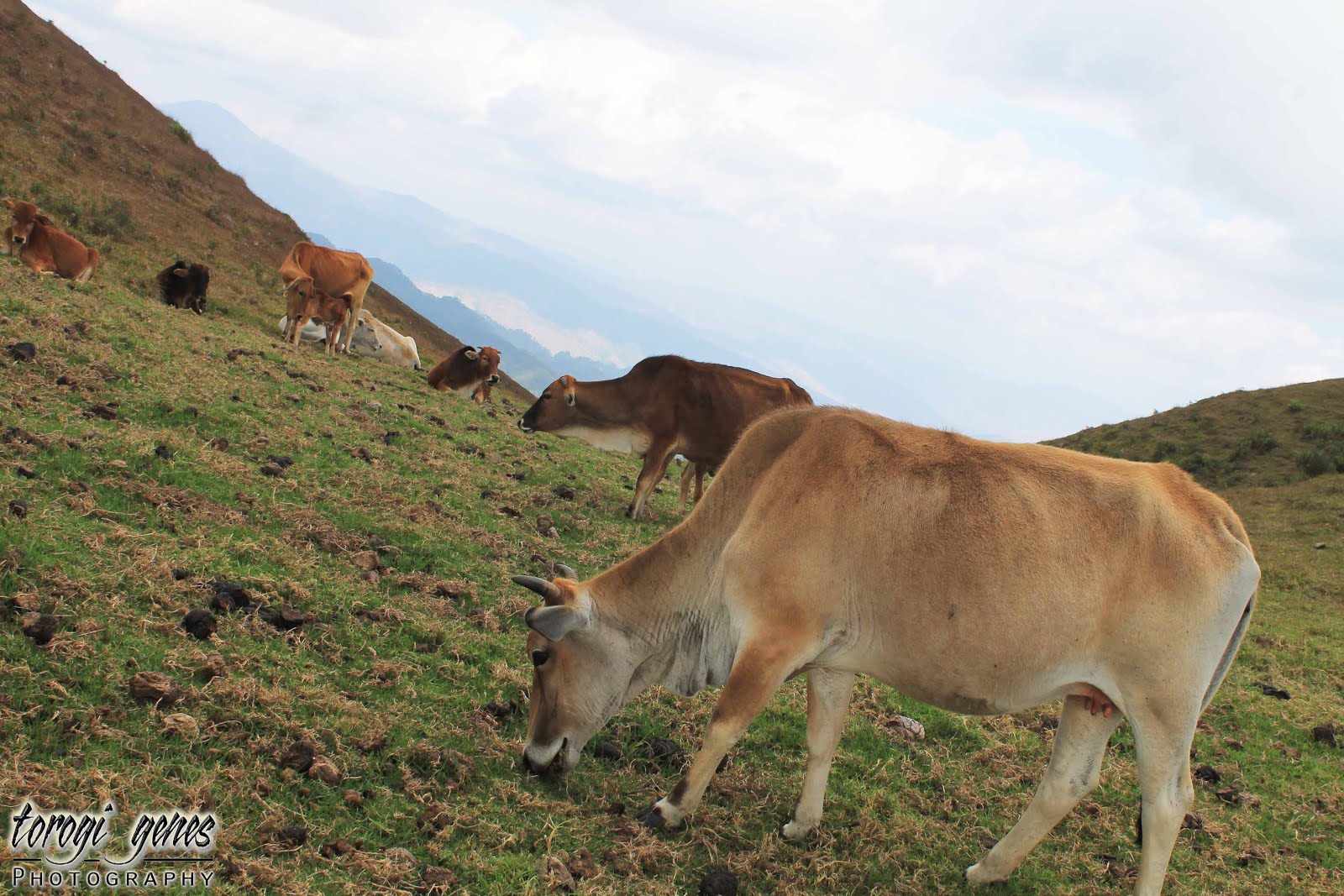
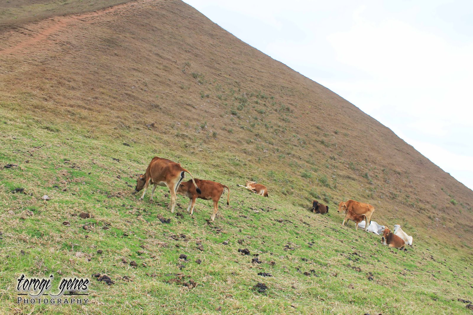
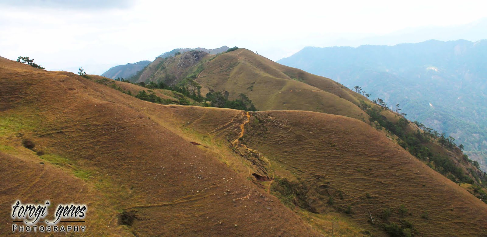
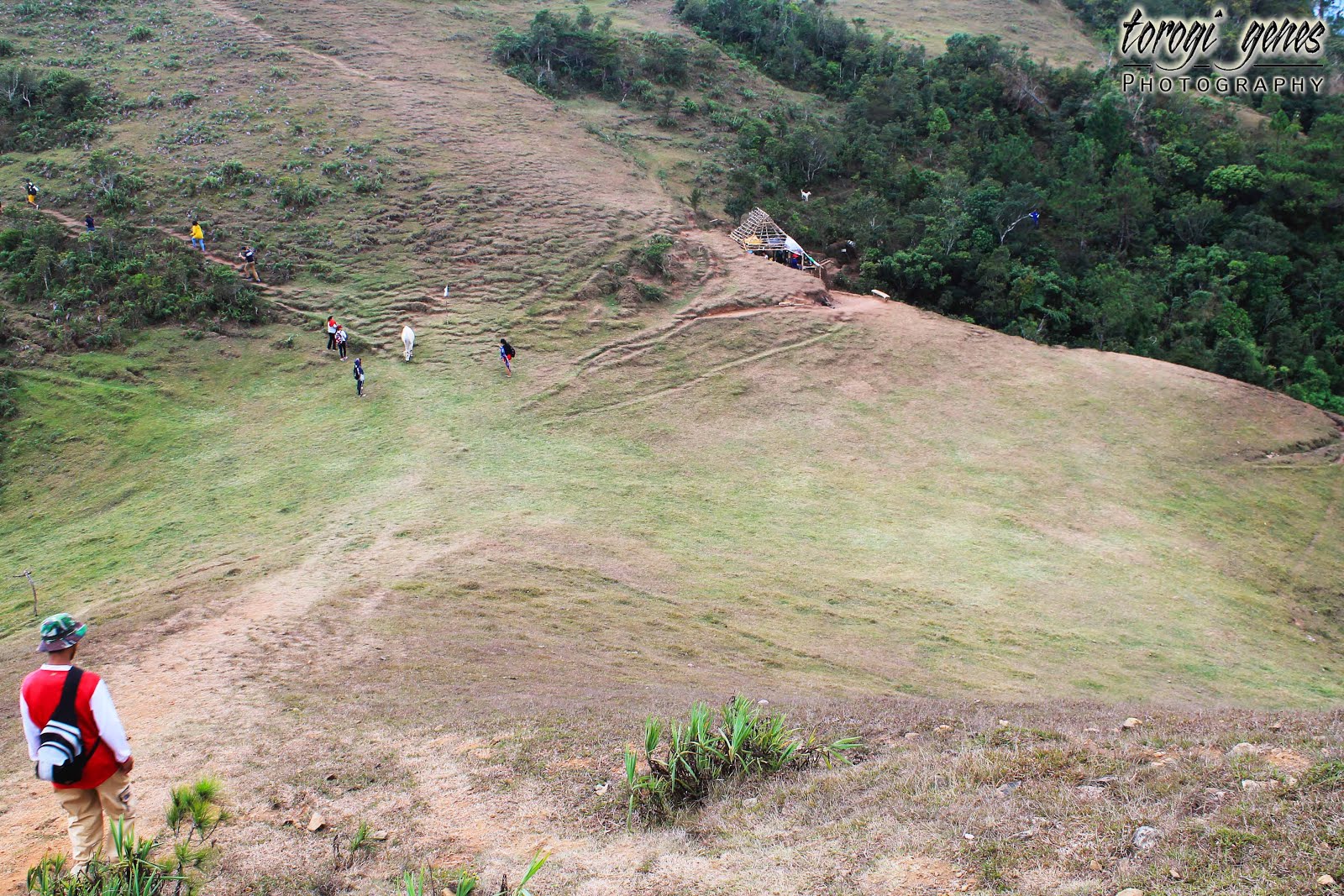
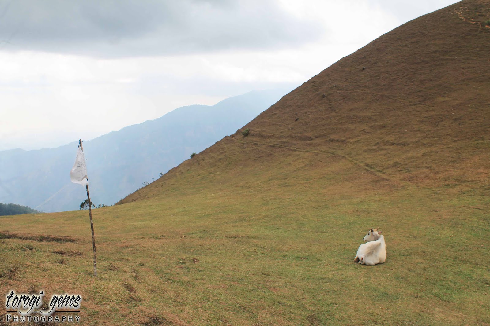
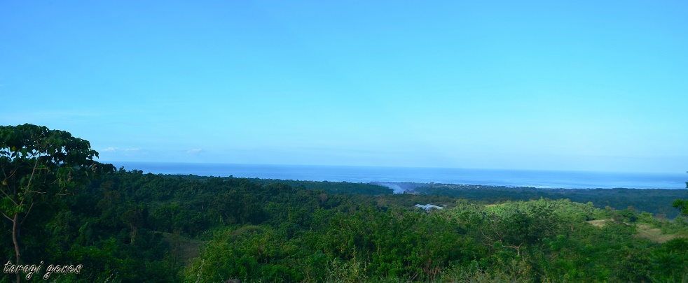
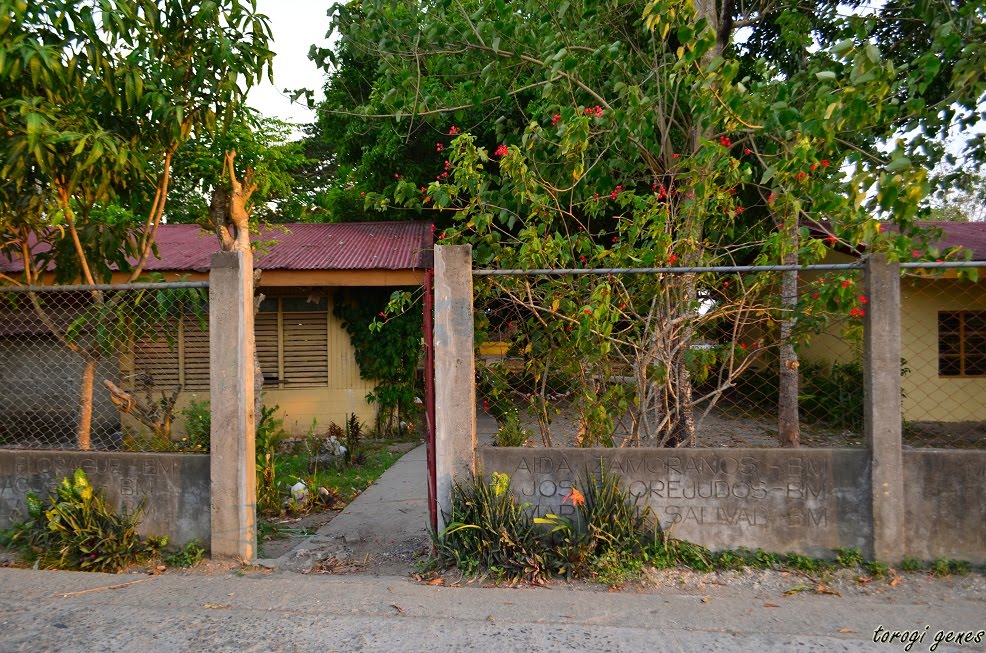
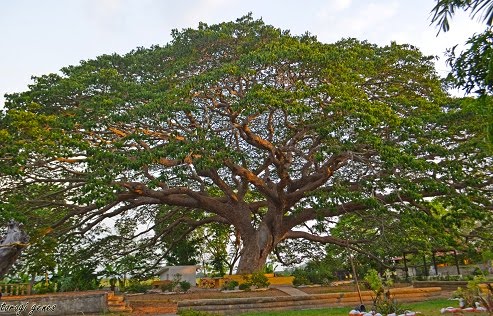
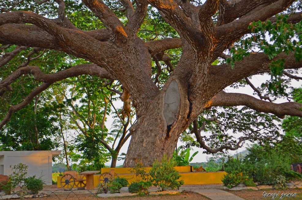
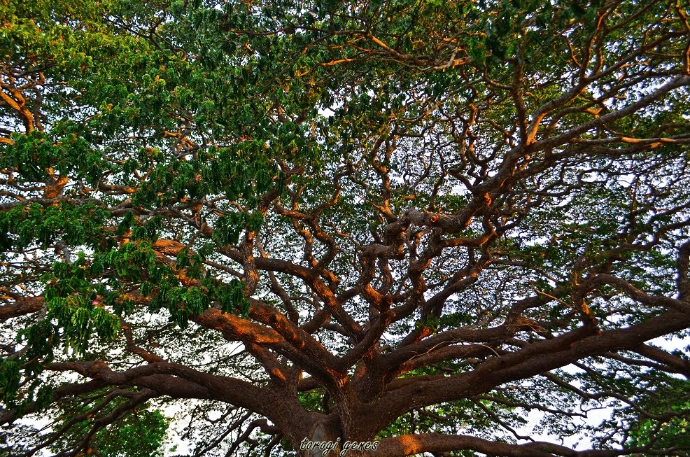
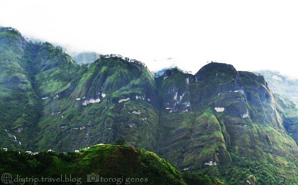
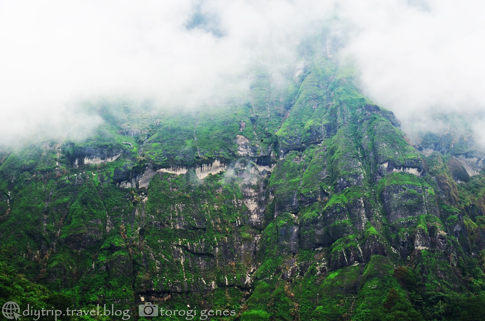
Scenic Bakun
Going to Bakun will not only satisfy your love for waterfalls but also engage you with its natural beauty. Poblacion, for instance is surrounded with scenic mountains, often capped with fog in the afternoon and when it rains.

Other Notable Spots In and Near Bakun
- Bakun Trio (Mt. Tenglawan, Mt. Kabunian, Mt. Lobo), Mt. Gedgedayan
- Duligen rock
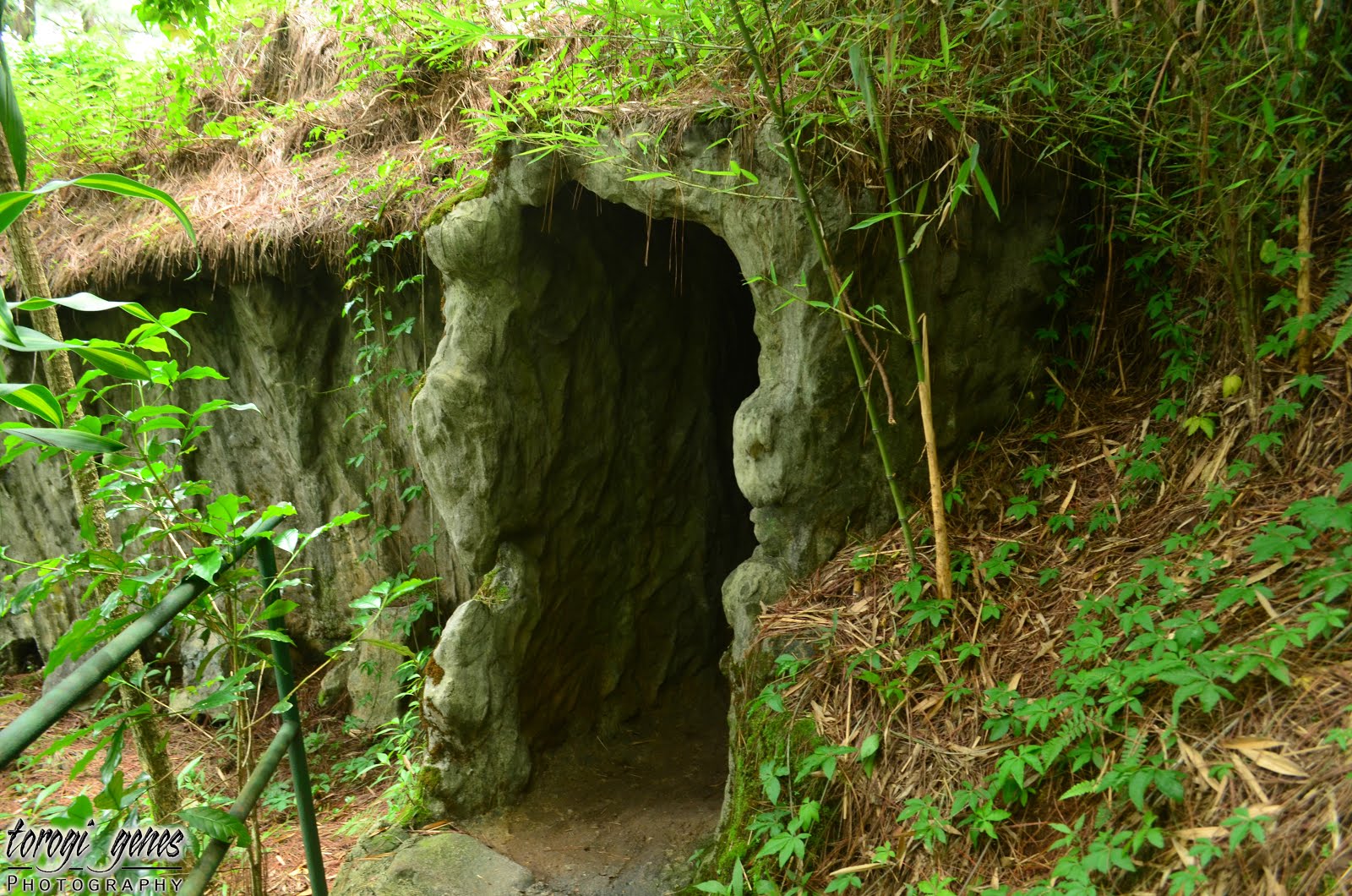
- Olineg cave/tunnel
- Nagasa Cave
Where to Stay in Bakun
- Option 1. Old Municipal Hall at Php80.00 per night per person. Pro: cheap. Cons: bring your own sleeping gears; food** not included.
- Option 2. Sagunday Transient at Php200.00 per night per person. Pros: you get to sleep in a bed with foam, beddings, CR, and with kitchen and cooking utensils (yes, you can cook and stores are a stone’s throw away. Con: food** not included.
** You can arrange with the barangay officials to cook for you at around Php200.00.
Expenses (food not included) as of May 2019
- Baguio City to Km. 5, La Trinidad: Php10.00
- Bus fare from La Trinidad to Bakun: Php180.00
- Accommodation: Php80.00-200.00
- Environmental fee: Php50.00-100.00 depending on the site. Fee is per site.
- Guide fee (Per guide per group [max of 6 pax per group]. In excess of 6 members, additional heads will pay Php75.00 each. However, if the total participants are beyond 8, it is mandatory to have two guides. Further, in excess of the maximum hours, the guide will be paid additional Php50.00 per hour):
- Mangta falls: Php700.00 (7 hours)
- Tekip falls: Php300.00 (3 hours)
- Bagiw river: Php300.00 (3 hours)
- Pikaw falls: Php500.00 (5 hours)
- Pattan falls: Php600.00 (6 hours)
- There are also packages if you want to go to more than one waterfalls and/or site (valid for a day, unless specified):
- Package 1: Poblacion to Mt. Kabunian + Pattan falls: Php1200.00
- Package 2: Tekip falls, Bagiw river, Pikaw falls, rice terraces: Php1000.00
- Package 3: Tekip falls, Bagiw river, rice terraces: Php600.00
- Package 4: Bagiw river, rice terraces: Php300.00
- Package 5: Mt. Kabunian + Gawaan rice terraces, Beey Kawit falls, hanging bridges, Bagiw river: Php1250.00
- Package 6: Mt. Kabunian + Pattan falls, Gawaan rice terraces, hanging bridges, Beey Kawit falls, Bagiw river: Php1500.00
- Package 7: Mt. Gedgedayan + Pikaw falls, Bagiw river: Php1200.00
- Package 8: Pikaw falls + Bagiw river: Php600.00 (valid for 6 hours)
- Package 9: Mangta and Pattan falls: Php1000.00
- Package 10: Mangta, Pattan, and Tekip falls: Php1300.00
- Package 11: Mangta, Pattan, Pikaw and Tekip falls: Php1600.00
Reminders
- Always practice the LNT principles.
- Be early taking jeep from Baguio City to La Trinidad as traffic might get heavy.
- Get in touch with the contact persons listed above for to verify for any changes in transportation schedules, fees, temporary closure of sites, etc. This will also give them ample time to prepare for your accommodation.
- Be courteous to the locals, tourism and local guidelines, the culture, and of the place itself.
- Do not attempt to swim nor dive if you do not how.