Ilocos Norte boasts several man-made wonders. Aside from Spanish-era museums, the province also has outdoor structures. Probably, the Patapat Viaduct is the most famous among them.
Contents
- Location
- Business hours
- Fees
- Contact Person/Group/Website/Page
- Patapat Viaduct
- How to get to Patapat Viaduct
- Helpful local phrases
- Other notable nearby places
- References
Disclaimer: The content of this article is based on personal experience as well as references to the date of publication. Changes may occur on contact details, transportation, fees, etc. With this, please do comment at the end of the article any updates as well as corrections on the content, anything amiss, or any information that you think is crucial to the readers. Thank you!
Location
Address: Pagudpud, Ilocos Norte, Philippines
Coordinates: 18.575713629220896, 120.89459367044957
Map:
Business Hours
- Curfew may be imposed at some point and circumstance.
Fees
- Entrance Fee: None
Contact Person/Group/Website/Page
- Phone: +63 (0908) 810 8654 to 55
- Email: tourismilocosnorte@gmail.com
- Website: http://www.ilocosnorte.ph/
- Social Media: Provincial Government of Ilocos Norte Facebook Page, Ilocos Norte Tourism Facebook Page
Driving Through Patapat Viaduct
Ilocos Norte boasts several man-made wonders. Aside from Spanish-era museums, the province also has outdoor structures. Probably, the Patapat Viaduct is the most famous among them.
Patapat Viaduct, otherwise known as Patapat Causeway Bridge or Patapat Bridge, is located on the northernmost part of Ilocos Norte, with the border to Cagayan. This is the reason it was on the last part of my itinerary when I visited the province.
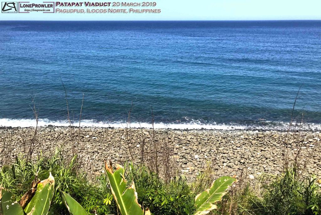
The causeway bridge is 1.3 kilometer long and is elevated 31 meters above sea level [1]. This concrete, two-lane elevated coastal road connects the Maharlika Highway in Ilocos Norte to Cagayan Valley. Traversing the bridge, you will easily notice that it zigzags with the contour of the hillside. Under the management of DPWH-PMO-PJHK, the bridge was erected by Hanil Development Co. Ltd. and finished and opened to traffic in October 1986 [2]. Constructed above the rocky seashore, the viaduct was engineered to solve the recurring problem of landslides in this particular part of the region [1,2].
Months after the construction has been finished, images of the causeway became viral in the internet. Patapat Viaduct is now a famous tourist destination in the region. It offers a majestic view of Pasaleng Bay. Moreover, the islands of Fuga and Calayan are visible to the naked eye on a clear day. Aside from causeway being the 4th longest bridge in the country, Patapat Viaduct is also located on the starting point of the Cordillera Mountain Range.


In conclusion, Patapat Viaduct is a worthy addition to your Ilocos Norte itinerary as it offers a great view of pebbled coastal area, West Philippine Sea, and a glimpse of the beginning of the Cordillera Mountain Range while traversing the 4th longest bridge in the country.
How to Get To Patapat Viaduct
By land. Take any bus heading to Laoag City.
- Manila buses bound to Laoag City are Partas, Dominion Bus, Aniceto Bus, Viron Transit, Florida Bus Line, Fariñas Trans, Maria De Leon Bus Lines, RCJ Bus Lines and F. Franco Transit. Make sure it is bound to Laoag, though most of these buses also have Vigan to Laoag trips. There are tricycles and vans for hire which usually covers a group of tourist destinations in the province.
- From Baguio City, you can take a Partas bus near SM City Baguio or the ordinary mini-buses in Bayanihan. Make sure it is bound to Laoag, though most of these buses also have Vigan to Laoag trips. There are tricycles and vans for hire which usually covers a group of tourist destinations in the province.
- GMW Liner and Florida Liner have buses plying a vice versa Abra and Tuguegarao with a stop in Laoag City route. There are tricycles and vans for hire which usually covers a group of tourist destinations in the province.
By air. Cebu Pacific and Philippine Airlines flies from Manila to Laoag International Airport.
Helpful Local Phrases
- Good morning: Naimbag a bigat; Good afternoon: Naimbag a malem; Good day: Naimbag nga aldaw; Good evening: Naimbag a rabii
- How are you?: Kumusta
- Thank you: Agyamanak
- What is your name?: Ania ti nagan mo?
- I don’t understand: Diak maawatan
- How do I get to…?: Kasantnu ak a makapan sadiay…?
- One: maysa, two: duwa, three: tallo, four: uppat, five: lima, six: ennem, seven: pito, eight: walo, nine: siyam, ten: sangapulo
- How much is this?: Sagmamano daytoy?
- Help!: Arayat!
- Sorry: Pakawanennak
Other Notable Nearby Places
- Ilocos Norte:
- Sinking bell tower
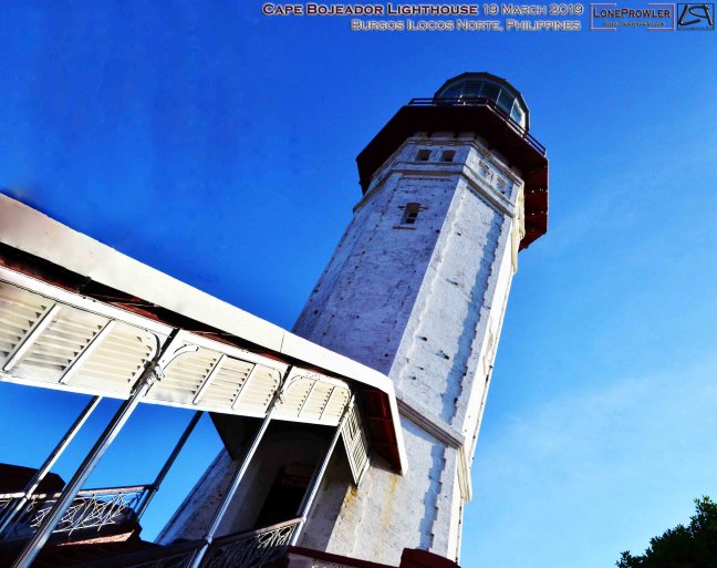
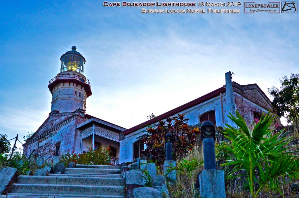
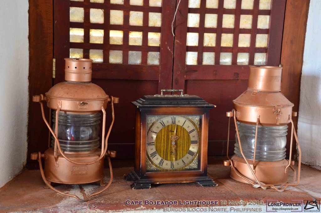
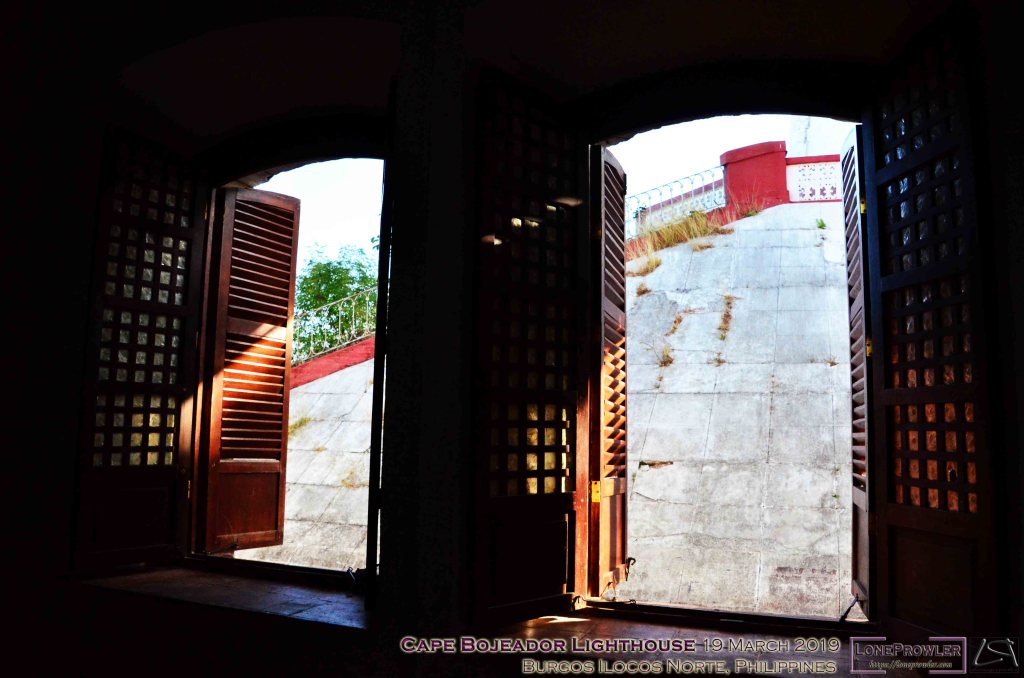
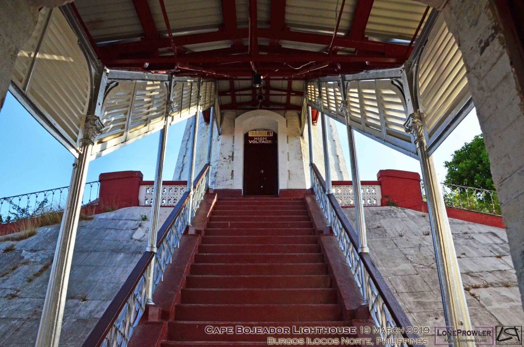
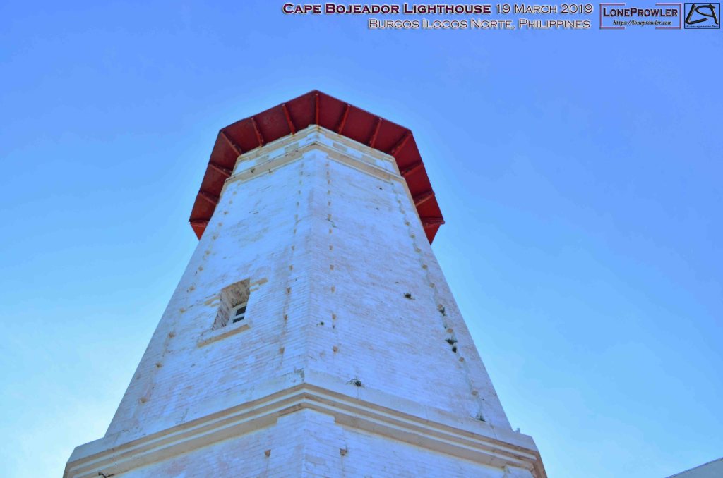
- Cape Bojeador Lighthouse
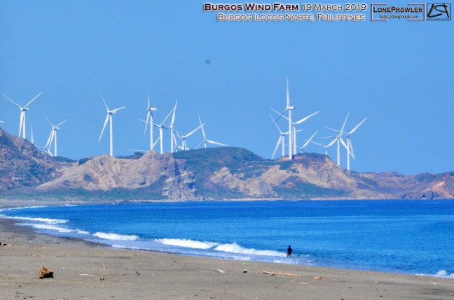
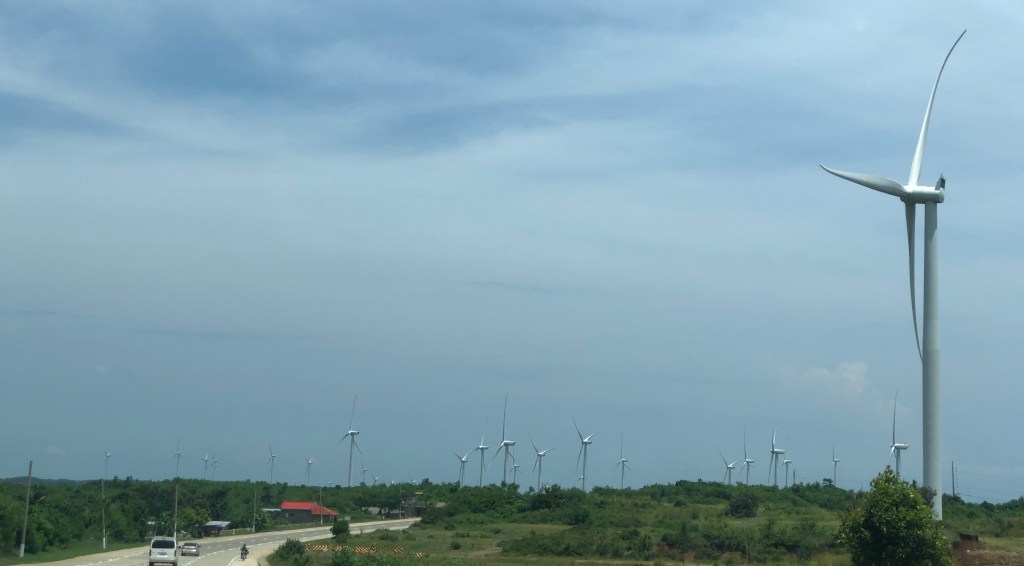
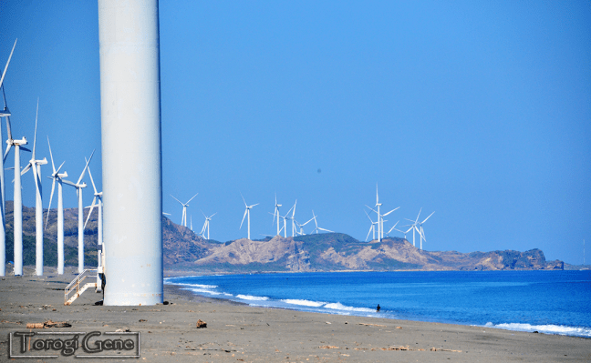
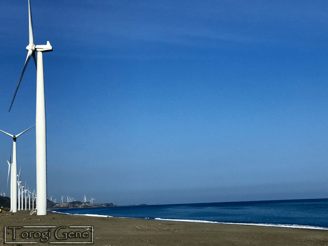
- Burgos Wind Farm
- Museo Ilocos Norte
- Pagudpud Beaches
- Kapurpurawan Rock Formation
- Sand dunes
- Malacañang of the North
- Paoay Church
- Marcos Museum and Mausoleum
- Juan Luna Shrine
- Bacarra Domeless Tower
- Bayog Beach
- Bangui Windmills
- Ilocos Sur:
References
[1] Dangerousroads.org. n.d. The winding Patapat Bridge: a paved road along the sea coast. [online] Available at: <https://www.dangerousroads.org/asia/philippines/4048-patapat-bridge.html> [Accessed 23 March 2021].
[2] Kbl.org.ph. n.d. Patapat Viaduct. [online] Available at: <https://kbl.org.ph/patapat-viaduct/> [Accessed 23 March 2021].